Channel & Berth Profile
Pilotage, Tugs & Services
Pilotage availableYES
Shore powerYES
Potable waterYES
Diesel bunkersYES
MedicalNO
Garbage disposalYES
Facilities & Capabilities
Container—
Ro-Ro—
Liquid bulk—
Dry bulk—
Oil terminal—
Break bulk—
Dry dock—
RepairsNO
BunkeringYES
Rail linkYES
Dangerous cargo—
ISPS security—
Harbour Specifications
Harbour size
Very Small
Harbour type
River (Natural)
Shelter
Excellent
Water body
North Pacific Ocean
Overhead limit
Yes
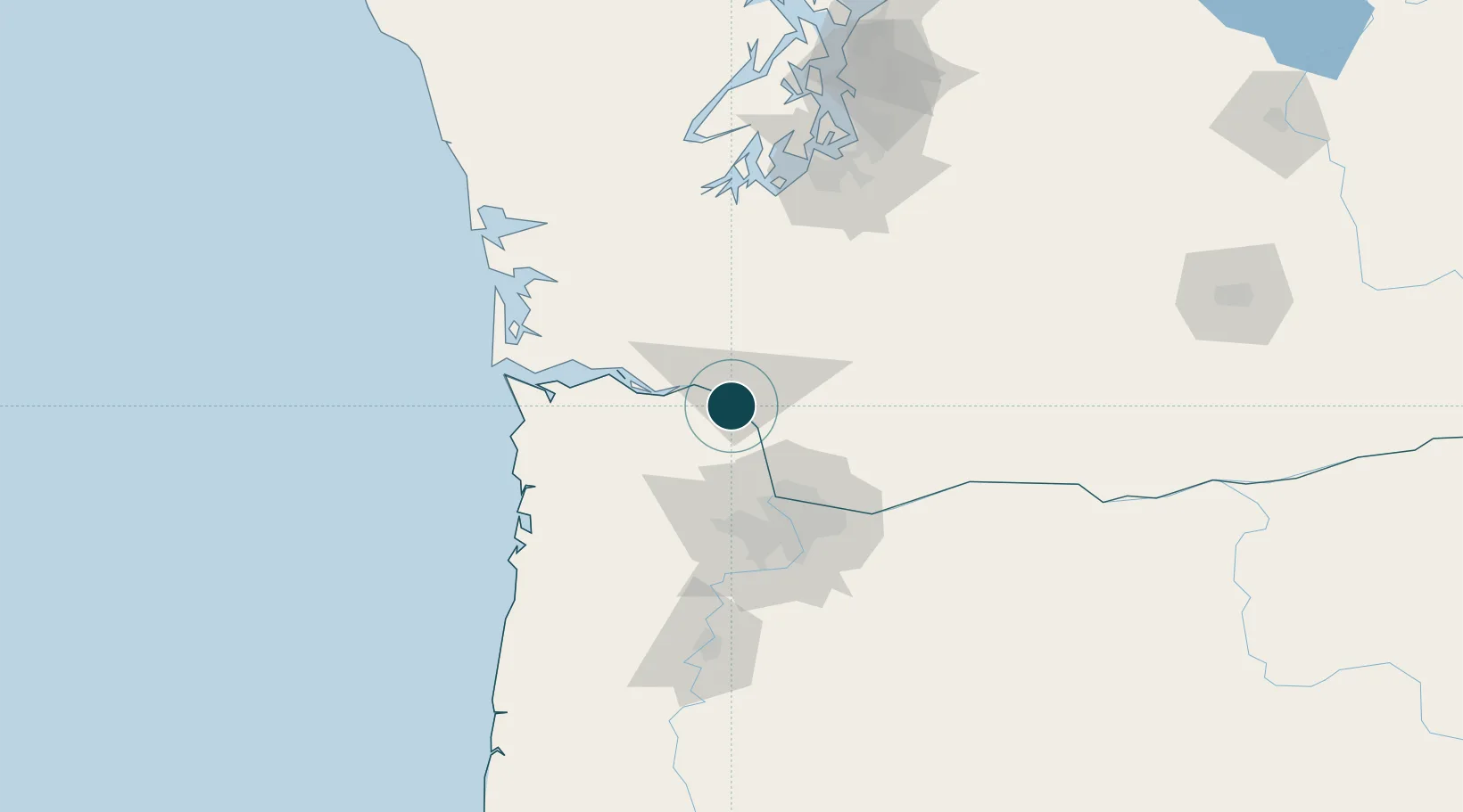
Location
Nearby Logistics Neighbours
Cities
- 1Longview3 km
- 2Prescott7 km
- 3Creswell20 km
- 4Clatskanie21 km
- 5Warren30 km
Airports
Trade Zones
- 1FTZ No. 120 Cowlitz County7 km
- 2FTZ No. 296 Vancouver53 km
- 3FTZ No. 045 Portland61 km
- 4FTZ No. 255 Washington County69 km
- 5FTZ No. 216 Olympia106 km
DatabookThe Record of Consolidated Knowledge
United States beyond logistics?