Medium airport · United States

Portland Troutdale AirportKTTD

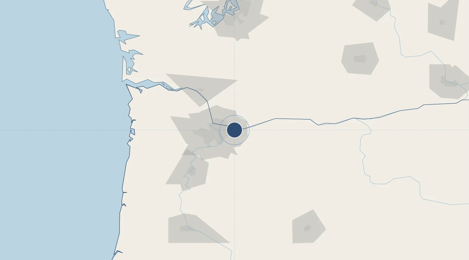
45.5494°, -122.4010°
5,399 ft
Longest runway
1
Runways
39 ft
Elevation

Runway & Layout

Portland Troutdale Airport runway & taxiway layout
Runway & taxiway layout — OpenStreetMap (ODbL) / OurAirports

Radio Frequencies

ASOS
135.625 MHz
TWR
120.9 MHz
TROUTDALE TWR
GND
121.8 MHz
APP
118.1 MHz
DEP
124.35 MHz
CTAF
120.9 MHz
UNIC
122.95 MHz
UNICOM
OurAirports

Runways · 1

RunwayDimensions SurfaceTrue headingLit
07/25 5,399 × 150ft Asphalt 089°
OurAirports

Airport Specifications

IATA code
TTD
OurAirports
ICAO code
KTTD
OurAirports
Airport class
Medium airport
OurAirports
Scheduled service
No
OurAirports
Runway surface
Asphalt
OurAirports
Served city
Portland
OurAirports

Location

Location of KTTD
Natural Earth 10m (public domain) · Oregon · KTTD · 45.55, -122.40GoogleOSMYandex

Nearby Logistics Neighbours

Airports
  1. 1Portland International Airport16 km
  2. 2Portland Hillsboro Airport43 km
  3. 3Aurora State Airport44 km
  4. 4McMinnville Municipal Airport70 km
  5. 5Southwest Washington Regional Airport74 km
Nearest neighbours — logibook spatial index (haversine) over the source coordinates
Cities
  1. 1Portland13 km
  2. 2Vancouver22 km
  3. 3Eagle Creek23 km
  4. 4Rivergate29 km
  5. 5Linnton30 km
Nearest neighbours — logibook spatial index (haversine) over the source coordinates
Ports
  1. 1Camas4 km
  2. 2Washougal6 km
  3. 3Portland21 km
  4. 4Vancouver24 km
  5. 5St Helens47 km
Nearest neighbours — logibook spatial index (haversine) over the source coordinates
Trade Zones
  1. 1FTZ No. 296 Vancouver25 km
  2. 2FTZ No. 045 Portland31 km
  3. 3FTZ No. 255 Washington County77 km
  4. 4FTZ No. 120 Cowlitz County79 km
  5. 5FTZ No. 216 Olympia171 km
Nearest neighbours — logibook spatial index (haversine) over the source coordinates
DatabookThe Record of Consolidated Knowledge
United States beyond logistics?
Browse databook

All Sources

AirportsOurAirports
Public domain
Portsthe NGA World Port Index
Public domain (US gov)
LocationsUN/LOCODE
UN/LOCODE — free
Trade Zonesthe World Bank SEZ database
CC BY 4.0
Trade ZonesOpen Zone Map
CC BY
InfrastructureOpenStreetMap
ODbL 1.0
← United States airports