UN/LOCODE hub · United States
USYCK
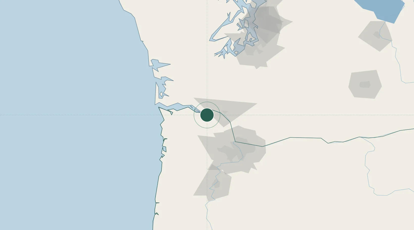
Clatskanie
46.1000°, -123.2000°
1,759
Population
2
Transport functions
Transport Functions
Port
Road
Hub Profile
Place type
Populated place
Region
Oregon
Population
1,759
Time zone
America/Los_Angeles
Elevation
33 m
Location
Nearby Logistics Neighbours
Cities
- 1Wauna Range16 km
- 2Cathlamet18 km
- 3Bradwood20 km
- 4Longview22 km
- 5Creswell25 km
Airports
Trade Zones
- 1FTZ No. 120 Cowlitz County15 km
- 2FTZ No. 255 Washington County63 km
- 3FTZ No. 296 Vancouver65 km
- 4FTZ No. 045 Portland70 km
- 5FTZ No. 216 Olympia107 km
DatabookThe Record of Consolidated Knowledge
United States beyond logistics?