UN/LOCODE hub · United States
USERX
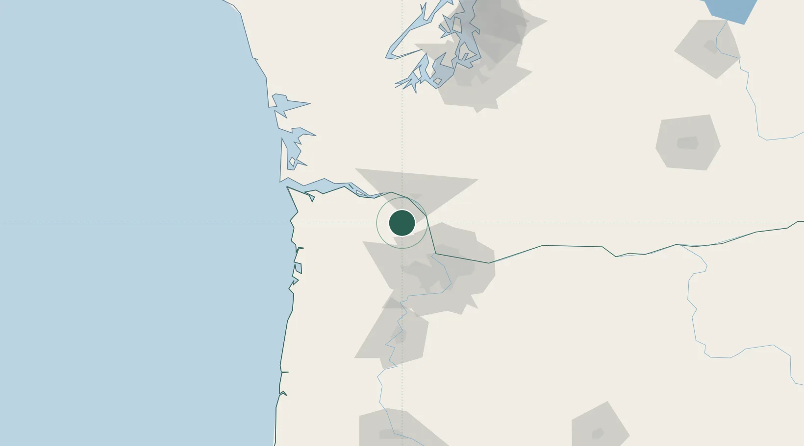
Creswell
45.9167°, -123.0167°
5,199
Population
2
Transport functions
Transport Functions
Rail
Road
Hub Profile
Place type
Populated place
Region
Oregon
Population
5,199
Time zone
America/Los_Angeles
Elevation
170 m
Location
Nearby Logistics Neighbours
Cities
- 1Prescott17 km
- 2Warren17 km
- 3Longview22 km
- 4Clatskanie25 km
- 5Ridgefield26 km
Airports
Trade Zones
- 1FTZ No. 120 Cowlitz County23 km
- 2FTZ No. 296 Vancouver40 km
- 3FTZ No. 045 Portland45 km
- 4FTZ No. 255 Washington County50 km
- 5FTZ No. 216 Olympia125 km
DatabookThe Record of Consolidated Knowledge
United States beyond logistics?