Large airport · United States

Portland International AirportKPDX

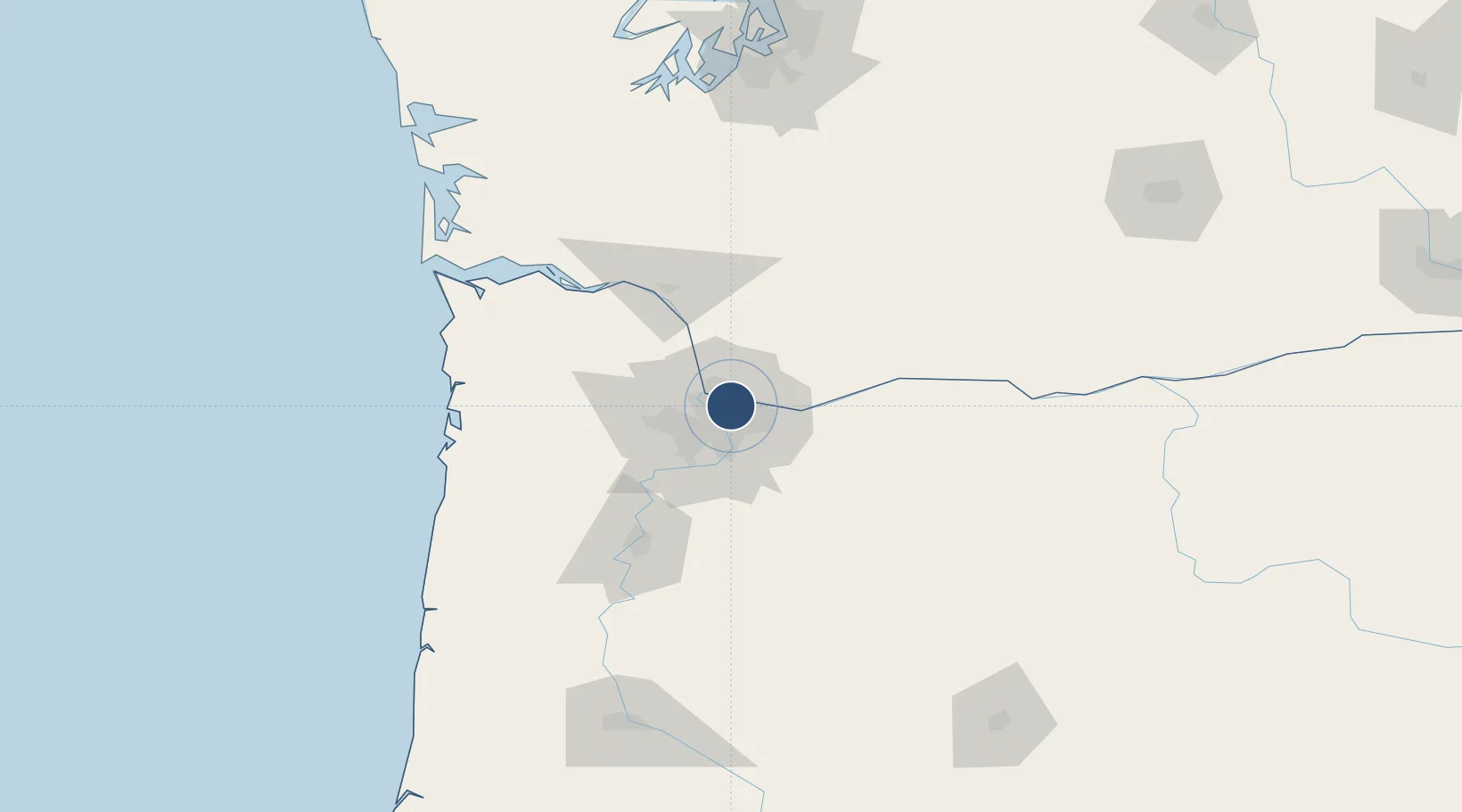
45.5887°, -122.5980°
11,000 ft
Longest runway
3
Runways
31 ft
Elevation

Runway & Layout

Portland International Airport runway & taxiway layout
Runway & taxiway layout — OpenStreetMap (ODbL) / OurAirports

Radio Frequencies

ATIS
120.625 MHz
TWR
118.7 MHz
GND
121.9 MHz
CLD
120.125 MHz
CLNC DEL
APP
118.1 MHz
APP
129.92 MHz
DEP
118.1 MHz
ACP
124.35 MHz
939 ARW COMD POST
OPS
128.05 MHz
ANG BASE OPS
UNIC
122.95 MHz
UNICOM
OurAirports

Navaids

CBU TACAN Columbia 109.20 MHz
PDX VOR-DME Portland 111.80 MHz
OurAirports

Runways · 3

RunwayDimensions SurfaceTrue headingLit
10R/28L 11,000 × 150ft Asphalt 119°
10L/28R 9,825 × 150ft Asphalt 119°
03/21 6,000 × 150ft Asphalt 045°
OurAirports

Airport Specifications

IATA code
PDX
OurAirports
ICAO code
KPDX
OurAirports
Airport class
Large airport
OurAirports
Scheduled service
Yes
OurAirports
Runway surface
Asphalt
OurAirports
Served city
Portland
OurAirports

Location

Location of KPDX
Natural Earth 10m (public domain) · Oregon · KPDX · 45.59, -122.60GoogleOSMYandex

Nearby Logistics Neighbours

Airports
  1. 1Portland Troutdale Airport16 km
  2. 2Portland Hillsboro Airport28 km
  3. 3Aurora State Airport40 km
  4. 4McMinnville Municipal Airport61 km
  5. 5Southwest Washington Regional Airport63 km
Nearest neighbours — logibook spatial index (haversine) over the source coordinates
Cities
  1. 1Portland3 km
  2. 2Vancouver7 km
  3. 3Rivergate14 km
  4. 4Linnton15 km
  5. 5Ridgefield26 km
Nearest neighbours — logibook spatial index (haversine) over the source coordinates
Ports
  1. 1Vancouver8 km
  2. 2Portland10 km
  3. 3Camas15 km
  4. 4Washougal19 km
  5. 5St Helens35 km
Nearest neighbours — logibook spatial index (haversine) over the source coordinates
Trade Zones
  1. 1FTZ No. 296 Vancouver9 km
  2. 2FTZ No. 045 Portland16 km
  3. 3FTZ No. 255 Washington County62 km
  4. 4FTZ No. 120 Cowlitz County67 km
  5. 5FTZ No. 216 Olympia163 km
Nearest neighbours — logibook spatial index (haversine) over the source coordinates
DatabookThe Record of Consolidated Knowledge
United States beyond logistics?
Browse databook

All Sources

AirportsOurAirports
Public domain
Portsthe NGA World Port Index
Public domain (US gov)
LocationsUN/LOCODE
UN/LOCODE — free
Trade Zonesthe World Bank SEZ database
CC BY 4.0
Trade ZonesOpen Zone Map
CC BY
InfrastructureOpenStreetMap
ODbL 1.0
← United States airports