Seaport · United States
KalamaUSKAM
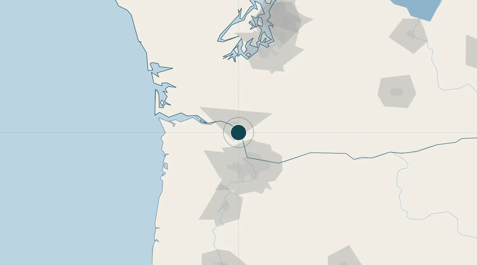
46.0167°, -122.8500°
11.0 m
Channel depth
17.0
Port liner connectivity
Channel & Berth Profile
Pilotage, Tugs & Services
Pilotage availableYES
Shore powerYES
Potable waterYES
MedicalNO
Garbage disposalNO
Facilities & Capabilities
Container—
Ro-Ro—
Liquid bulk—
Dry bulk—
Oil terminal—
Break bulk—
Dry dock—
Repairs—
Bunkering—
Rail linkYES
Dangerous cargo—
ISPS security—
Harbour Specifications
Harbour size
Very Small
Harbour type
River (Natural)
Shelter
Excellent
Water body
North Pacific Ocean
Tidal range
0.9 m
Overhead limit
Yes
Liner Connectivity
17
PLSCI
Port Liner Shipping Connectivity Index for Kalama, as published by UNCTAD for the latest available quarter. Higher values indicate stronger scheduled liner-shipping integration.
Shown relative to the highest per-port PLSCI in the dataset (1,657.9).
Location
Nearby Logistics Neighbours
Cities
- 1Prescott3 km
- 2Longview11 km
- 3Creswell17 km
- 4Warren22 km
- 5Ridgefield26 km
Airports
Trade Zones
- 1FTZ No. 120 Cowlitz County17 km
- 2FTZ No. 296 Vancouver44 km
- 3FTZ No. 045 Portland53 km
- 4FTZ No. 255 Washington County67 km
- 5FTZ No. 216 Olympia114 km
DatabookThe Record of Consolidated Knowledge
United States beyond logistics?