Transport Functions
Rail
Road
Multimodal
Hub Profile
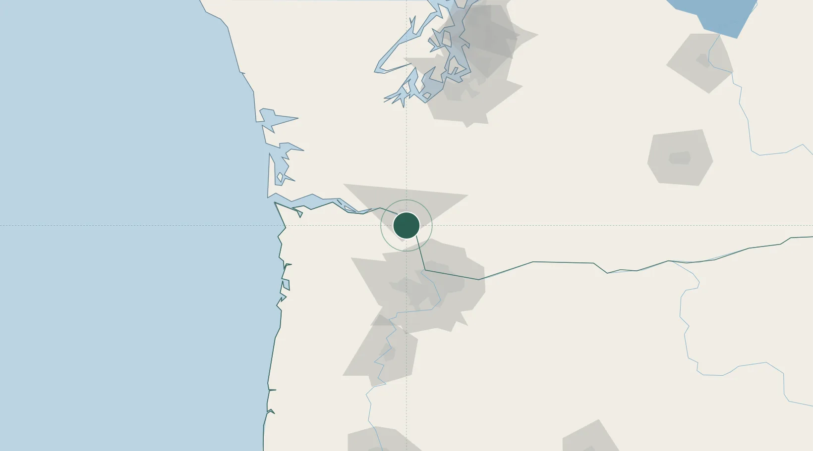
Place type
Populated place
Region
Oregon
Population
49
Time zone
America/Los_Angeles
Elevation
15 m
Location
Nearby Logistics Neighbours
Cities
- 1Longview8 km
- 2Creswell17 km
- 3Warren24 km
- 4Clatskanie26 km
- 5Ridgefield28 km
Airports
Trade Zones
- 1FTZ No. 120 Cowlitz County14 km
- 2FTZ No. 296 Vancouver47 km
- 3FTZ No. 045 Portland55 km
- 4FTZ No. 255 Washington County67 km
- 5FTZ No. 216 Olympia112 km
DatabookThe Record of Consolidated Knowledge
United States beyond logistics?