Medium airport · United States

Portland Hillsboro AirportKHIO

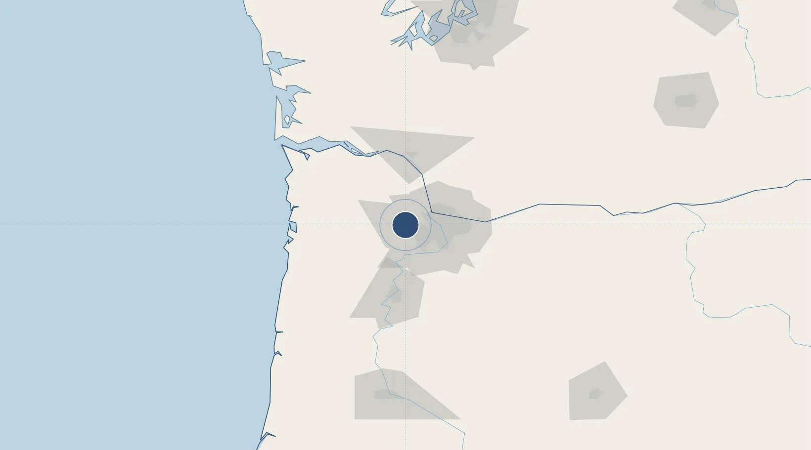
45.5404°, -122.9500°
6,600 ft
Longest runway
3
Runways
208 ft
Elevation

Runway & Layout

Portland Hillsboro Airport runway & taxiway layout
Runway & taxiway layout — OpenStreetMap (ODbL) / OurAirports

Radio Frequencies

ATIS
127.65 MHz
TWR
119.3 MHz
HILLSBORO TWR
GND
121.7 MHz
CTAF
119.3 MHz
A/D
126 MHz
APP/DEP
UNIC
122.95 MHz
UNICOM
OurAirports

Runways · 3

RunwayDimensions SurfaceTrue headingLit
13R/31L 6,600 × 150ft Asphalt 144°
02/20 3,820 × 75ft Asphalt 040°
13L/31R 3,600 × 60ft Asphalt 144°
OurAirports

Airport Specifications

IATA code
HIO
OurAirports
ICAO code
KHIO
OurAirports
Airport class
Medium airport
OurAirports
Scheduled service
No
OurAirports
Runway surface
Asphalt
OurAirports
Served city
Portland
OurAirports

Location

Location of KHIO
Natural Earth 10m (public domain) · Oregon · KHIO · 45.54, -122.95GoogleOSMYandex

Nearby Logistics Neighbours

Airports
  1. 1Portland International Airport28 km
  2. 2Aurora State Airport36 km
  3. 3McMinnville Municipal Airport41 km
  4. 4Portland Troutdale Airport43 km
  5. 5Southwest Washington Regional Airport64 km
Nearest neighbours — logibook spatial index (haversine) over the source coordinates
Cities
  1. 1Cornelius8 km
  2. 2Banks14 km
  3. 3Linnton15 km
  4. 4Rivergate17 km
  5. 5Vancouver25 km
Nearest neighbours — logibook spatial index (haversine) over the source coordinates
Ports
  1. 1Portland22 km
  2. 2Vancouver23 km
  3. 3St Helens38 km
  4. 4Camas43 km
  5. 5Washougal47 km
Nearest neighbours — logibook spatial index (haversine) over the source coordinates
Trade Zones
  1. 1FTZ No. 045 Portland12 km
  2. 2FTZ No. 296 Vancouver23 km
  3. 3FTZ No. 255 Washington County35 km
  4. 4FTZ No. 120 Cowlitz County65 km
  5. 5FTZ No. 216 Olympia167 km
Nearest neighbours — logibook spatial index (haversine) over the source coordinates
DatabookThe Record of Consolidated Knowledge
United States beyond logistics?
Browse databook

All Sources

AirportsOurAirports
Public domain
Portsthe NGA World Port Index
Public domain (US gov)
LocationsUN/LOCODE
UN/LOCODE — free
Trade Zonesthe World Bank SEZ database
CC BY 4.0
Trade ZonesOpen Zone Map
CC BY
InfrastructureOpenStreetMap
ODbL 1.0
← United States airports