UN/LOCODE hub · United States
USLOG
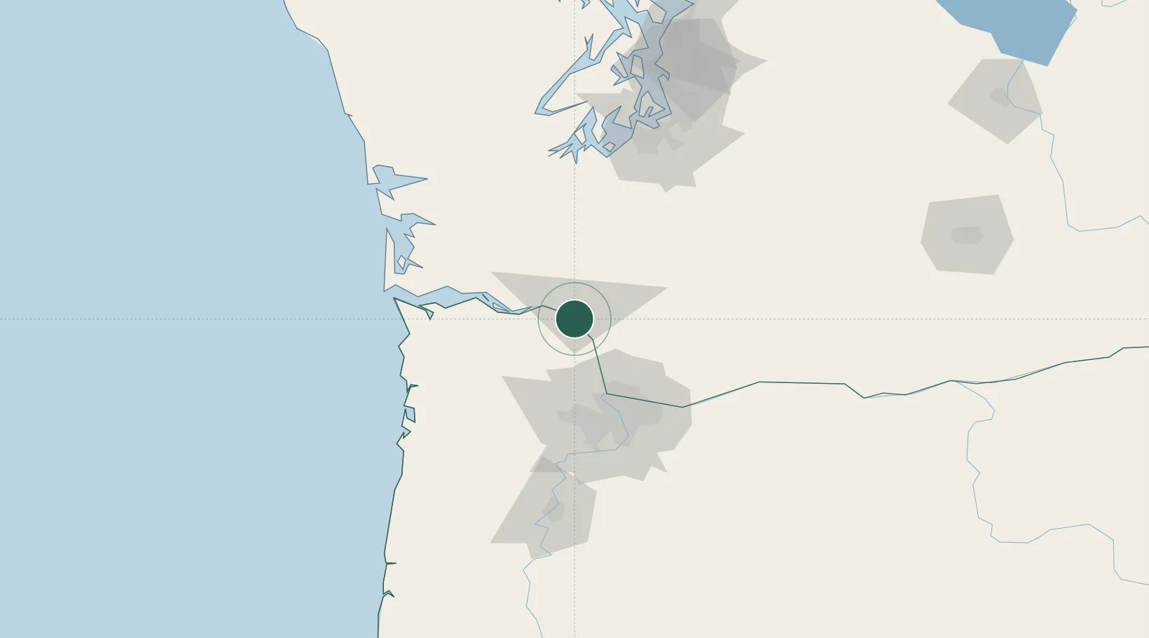
Longview
46.1048°, -122.9185°
36,848
Population
2
Transport functions
Transport Functions
Port
Airport
Hub Profile
Place type
Populated place
Region
Washington
Population
36,848
Time zone
America/Los_Angeles
Elevation
6 m
Logistics facilities
1
Location
Nearby Logistics Neighbours
Cities
- 1Prescott8 km
- 2Clatskanie22 km
- 3Creswell22 km
- 4Warren33 km
- 5Ridgefield37 km
Airports
Trade Zones
- 1FTZ No. 120 Cowlitz County7 km
- 2FTZ No. 296 Vancouver55 km
- 3FTZ No. 045 Portland63 km
- 4FTZ No. 255 Washington County72 km
- 5FTZ No. 216 Olympia104 km
DatabookThe Record of Consolidated Knowledge
United States beyond logistics?