Channel & Berth Profile
Pilotage, Tugs & Services
Pilotage compulsoryYES
Pilotage availableYES
Pilotage advisableYES
Tug assistanceYES
Salvage tugsYES
Shore powerYES
Potable waterYES
Diesel bunkersYES
MedicalYES
Facilities & Capabilities
Container—
Ro-Ro—
Liquid bulk—
Dry bulk—
Oil terminal—
Break bulk—
Dry dock—
Repairs—
BunkeringYES
Rail linkYES
Dangerous cargo—
ISPS security—
Harbour Specifications
Harbour size
Very Small
Harbour type
Coastal (Natural)
Water body
Gulf of Mexico; North Atlantic Ocean
Tidal range
0.3 m
Overhead limit
Yes
Pilotage
Yes
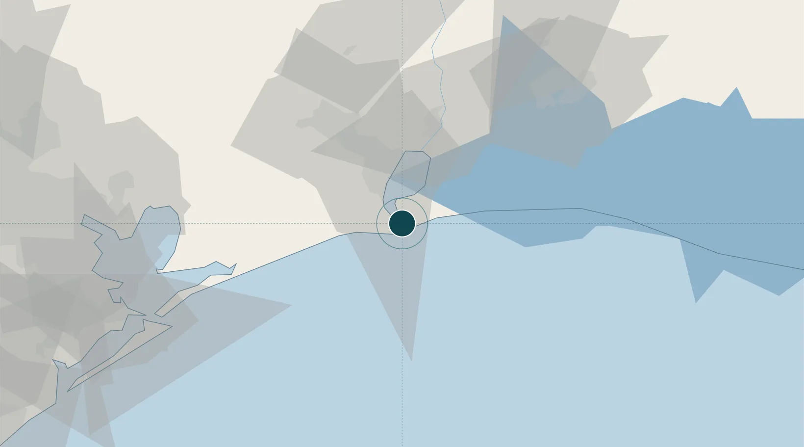
Location
Nearby Logistics Neighbours
Ports
- 1Sabine Pass4 km
- 2Port Arthur16 km
- 3Port Neches33 km
- 4Orange43 km
- 5Beaumont46 km
Cities
- 1Port Arthur19 km
- 2Groves25 km
- 3Atreco28 km
- 4West Orange42 km
- 5Amelia50 km
Airports
Trade Zones
- 1FTZ No. 116 Port Arthur26 km
- 2FTZ No. 291 Cameron Parish32 km
- 3FTZ No. 117 Orange46 km
- 4FTZ No. 115 Beaumont52 km
- 5FTZ No. 087 Lake Charles72 km
DatabookThe Record of Consolidated Knowledge
United States beyond logistics?