UN/LOCODE hub · United States
USPOA
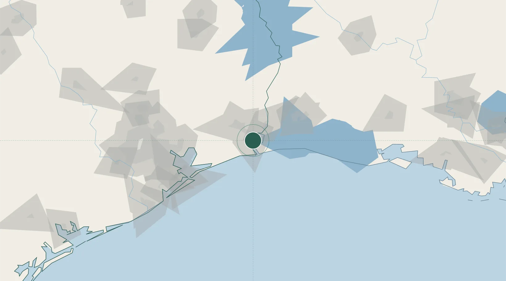
Port Arthur
29.8833°, -93.9167°
55,340
Population
2
Transport functions
Transport Functions
Port
Road
Hub Profile
Place type
Populated place
Region
Texas
Population
55,340
Time zone
America/Chicago
Elevation
2 m
Location
Nearby Logistics Neighbours
Cities
- 1Groves6 km
- 2Atreco10 km
- 3West Orange27 km
- 4Vidor31 km
- 5Amelia33 km
Ports
- 1Port Neches13 km
- 2Sabine Pass17 km
- 3Sabine19 km
- 4Beaumont27 km
- 5Orange28 km
Airports
Trade Zones
- 1FTZ No. 116 Port Arthur19 km
- 2FTZ No. 117 Orange28 km
- 3FTZ No. 115 Beaumont35 km
- 4FTZ No. 291 Cameron Parish37 km
- 5FTZ No. 087 Lake Charles64 km
DatabookThe Record of Consolidated Knowledge
United States beyond logistics?