Transport Functions
Road
Multimodal
Hub Profile
Place type
Populated place
Region
Montana
Time zone
America/Denver
Elevation
1,654 m
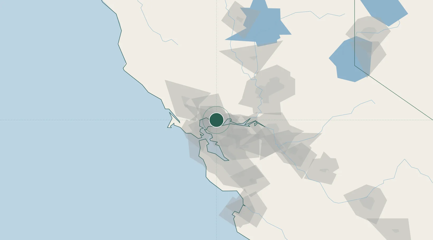
Location
Nearby Logistics Neighbours
Ports
- 1Mare Island4 km
- 2South Vallejo4 km
- 3Crockett8 km
- 4Oleum8 km
- 5Port Costa9 km
Airports
Trade Zones
- 1FTZ No. 056 Oakland35 km
- 2FTZ No. 003 San Francisco38 km
- 3FTZ No. 143 West Sacramento81 km
- 4FTZ No. 231 Stockton82 km
- 5FTZ No. 018 San Jose92 km
DatabookThe Record of Consolidated Knowledge
United States beyond logistics?