UN/LOCODE hub · United States
USPZB
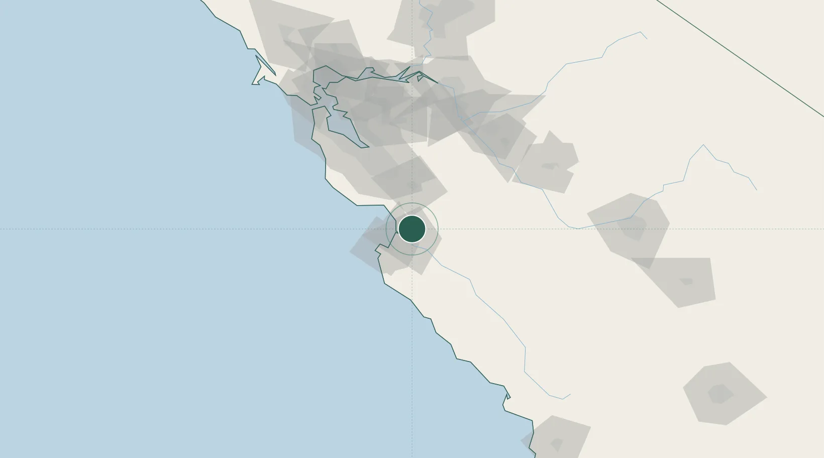
Prunedale
36.7667°, -121.6667°
17,560
Population
1
Transport functions
Transport Functions
Multimodal
Hub Profile
Place type
Populated place
Region
California
Population
17,560
Time zone
America/Los_Angeles
Elevation
28 m
Location
Nearby Logistics Neighbours
Cities
- 1Aromas13 km
- 2San Juan Bautista14 km
- 3Watsonville17 km
- 4Pacific Grove27 km
- 5Corralitos27 km
Ports
- 1Moss11 km
- 2Monterey26 km
- 3Santa Cruz38 km
- 4Davenport55 km
- 5Redwood City98 km
Airports
Trade Zones
- 1FTZ No. 018 San Jose66 km
- 2FTZ No. 226 Merced, Madera and Fresno Counties121 km
- 3FTZ No. 056 Oakland127 km
- 4FTZ No. 003 San Francisco131 km
- 5FTZ No. 231 Stockton135 km
DatabookThe Record of Consolidated Knowledge
United States beyond logistics?