UN/LOCODE hub · United States
USMY3
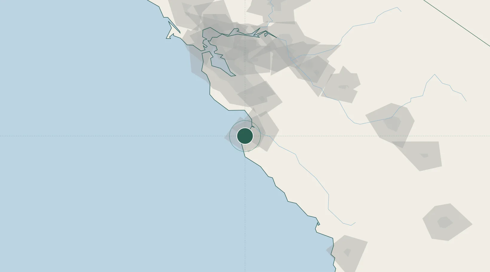
Monterey
36.6000°, -121.9000°
28,338
Population
2
Transport functions
Transport Functions
Port
Road
Hub Profile
Place type
Populated place
Region
California
Population
28,338
Time zone
America/Los_Angeles
Elevation
8 m
Location
Nearby Logistics Neighbours
Cities
- 1Pacific Grove2 km
- 2Prunedale28 km
- 3Watsonville36 km
- 4Big Sur38 km
- 5Aromas39 km
Ports
- 1Moss25 km
- 2Santa Cruz42 km
- 3Davenport54 km
- 4Redwood City107 km
- 5Alameda136 km
Airports
Trade Zones
- 1FTZ No. 018 San Jose82 km
- 2FTZ No. 056 Oakland138 km
- 3FTZ No. 003 San Francisco140 km
- 4FTZ No. 226 Merced, Madera and Fresno Counties149 km
- 5FTZ No. 231 Stockton159 km
DatabookThe Record of Consolidated Knowledge
United States beyond logistics?