Transport Functions
Rail
Road
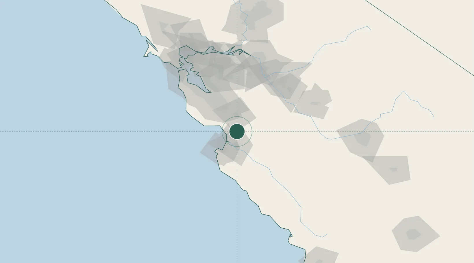
Hub Profile
Place type
Populated place
Region
California
Population
2,650
Time zone
America/Los_Angeles
Elevation
40 m
Location
Nearby Logistics Neighbours
Cities
- 1Watsonville9 km
- 2San Juan Bautista12 km
- 3Prunedale13 km
- 4Corralitos17 km
- 5Capitola28 km
Ports
- 1Moss15 km
- 2Santa Cruz34 km
- 3Monterey36 km
- 4Davenport51 km
- 5Redwood City87 km
Airports
Trade Zones
- 1FTZ No. 018 San Jose55 km
- 2FTZ No. 226 Merced, Madera and Fresno Counties114 km
- 3FTZ No. 056 Oakland116 km
- 4FTZ No. 003 San Francisco121 km
- 5FTZ No. 231 Stockton122 km
DatabookThe Record of Consolidated Knowledge
United States beyond logistics?