UN/LOCODE hub · United States
USWVI
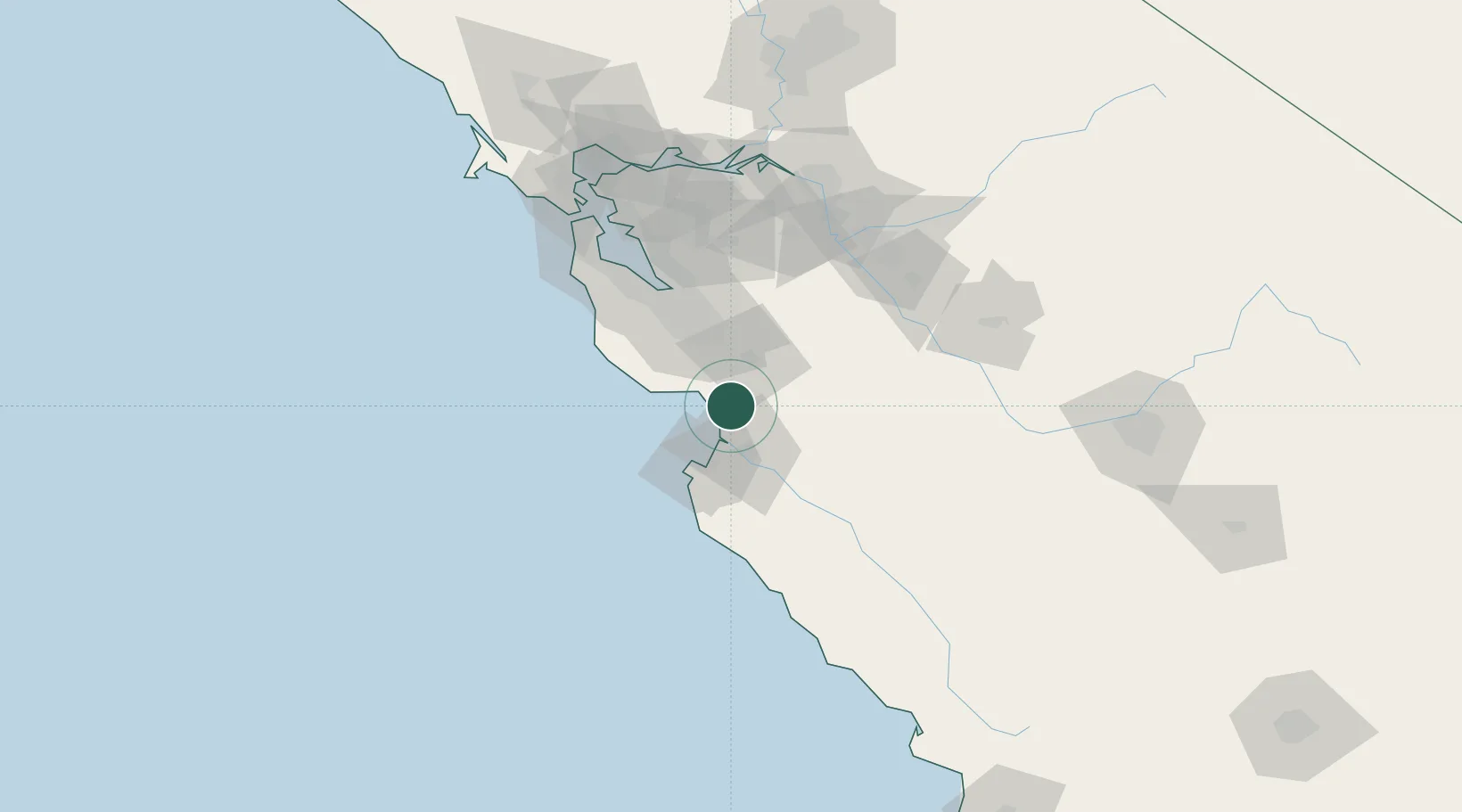
Watsonville
36.9000°, -121.7500°
53,628
Population
3
Transport functions
Transport Functions
Rail
Road
Airport
Hub Profile
Place type
Populated place
Region
California
Population
53,628
Time zone
America/Los_Angeles
Elevation
10 m
Location
Nearby Logistics Neighbours
Cities
- 1Aromas9 km
- 2Corralitos10 km
- 3Prunedale17 km
- 4Capitola19 km
- 5San Juan Bautista21 km
Ports
- 1Moss12 km
- 2Santa Cruz25 km
- 3Monterey34 km
- 4Davenport42 km
- 5Redwood City81 km
Airports
Trade Zones
- 1FTZ No. 018 San Jose50 km
- 2FTZ No. 056 Oakland111 km
- 3FTZ No. 003 San Francisco115 km
- 4FTZ No. 226 Merced, Madera and Fresno Counties121 km
- 5FTZ No. 231 Stockton123 km
DatabookThe Record of Consolidated Knowledge
United States beyond logistics?