UN/LOCODE hub · United States
USNQH

Annisquam Harbour

42.6667°, -70.6833°
1
Transport functions

Transport Functions

Port
UN/LOCODE

Hub Profile

Region
MA
GeoNames

Location

Location of USNQH
Natural Earth 10m (public domain) · MA · USNQH · 42.67, -70.68GoogleOSMYandex

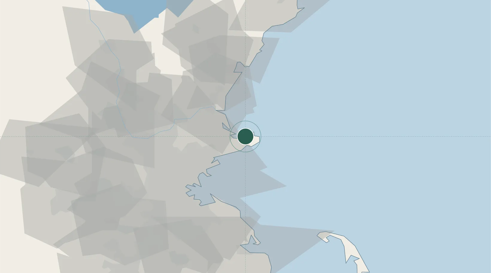
Nearby Logistics Neighbours

Cities
  1. 1West Gloucester6 km
  2. 2Gloucester7 km
  3. 3Essex9 km
  4. 4Manchester13 km
  5. 5South Hamilton17 km
Nearest neighbours — logibook spatial index (haversine) over the source coordinates
Ports
  1. 1Rockport6 km
  2. 2Beverly22 km
  3. 3Newburyport22 km
  4. 4Marblehead23 km
  5. 5Salem23 km
Nearest neighbours — logibook spatial index (haversine) over the source coordinates
Airports
  1. 1Beverly Regional Airport21 km
  2. 2Lawrence Municipal Airport36 km
  3. 3Boston Logan International Airport43 km
  4. 4Portsmouth International Airport at Pease47 km
  5. 5Laurence G Hanscom Field54 km
Nearest neighbours — logibook spatial index (haversine) over the source coordinates
Trade Zones
  1. 1FTZ No. 081 Portsmouth45 km
  2. 2FTZ No. 027 Boston53 km
  3. 3FTZ No. 105 Providence and North Kingstown114 km
  4. 4FTZ No. 028 New Bedford115 km
  5. 5FTZ No. 268 Brattleboro158 km
Nearest neighbours — logibook spatial index (haversine) over the source coordinates
DatabookThe Record of Consolidated Knowledge
United States beyond logistics?
Browse databook

All Sources

LocationsUN/LOCODE
UN/LOCODE — free
Portsthe NGA World Port Index
Public domain (US gov)
AirportsOurAirports
Public domain
Trade Zonesthe World Bank SEZ database
CC BY 4.0
Trade ZonesOpen Zone Map
CC BY
← United States locations