UN/LOCODE hub · United States
USGLO
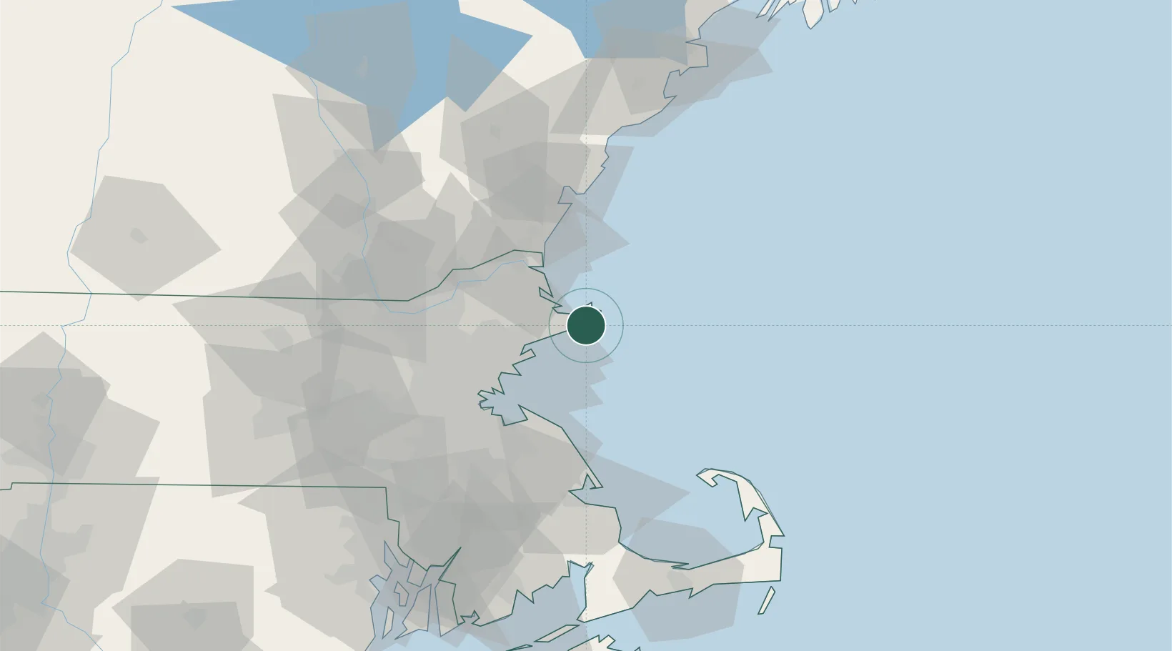
Gloucester
42.6105°, -70.6521°
29,781
Population
2
Transport functions
Transport Functions
Port
Road
Hub Profile
Place type
District seat
Region
Massachusetts
Population
29,781
Time zone
America/New_York
Elevation
16 m
Logistics facilities
1
Location
Nearby Logistics Neighbours
Cities
- 1West Gloucester5 km
- 2Annisquam Harbour7 km
- 3Manchester11 km
- 4Essex11 km
- 5South Hamilton18 km
Ports
- 1Rockport7 km
- 2Marblehead20 km
- 3Beverly21 km
- 4Salem22 km
- 5Newburyport29 km
Airports
Trade Zones
- 1FTZ No. 027 Boston50 km
- 2FTZ No. 081 Portsmouth52 km
- 3FTZ No. 028 New Bedford109 km
- 4FTZ No. 105 Providence and North Kingstown110 km
- 5FTZ No. 268 Brattleboro162 km
DatabookThe Record of Consolidated Knowledge
United States beyond logistics?