Transport Functions
Rail
Road
Hub Profile
Place type
Populated place
Region
Massachusetts
Time zone
America/New_York
Elevation
9 m
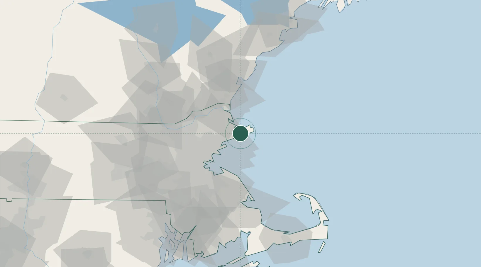
Location
Nearby Logistics Neighbours
Cities
- 1Gloucester5 km
- 2Essex6 km
- 3Annisquam Harbour6 km
- 4Manchester7 km
- 5South Hamilton12 km
Ports
- 1Rockport10 km
- 2Beverly17 km
- 3Marblehead17 km
- 4Salem18 km
- 5Newburyport25 km
Airports
Trade Zones
- 1FTZ No. 027 Boston47 km
- 2FTZ No. 081 Portsmouth50 km
- 3FTZ No. 105 Providence and North Kingstown108 km
- 4FTZ No. 028 New Bedford109 km
- 5FTZ No. 268 Brattleboro156 km
DatabookThe Record of Consolidated Knowledge
United States beyond logistics?