UN/LOCODE hub · United States
USSFO
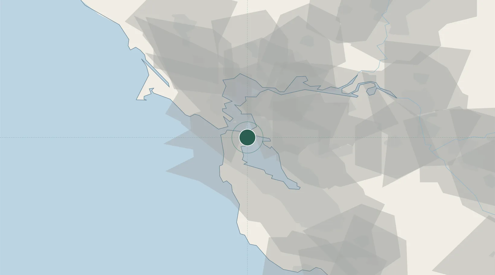
San Francisco
37.7656°, -122.3525°
827,526
Population
3
Transport functions
Transport Functions
Port
Airport
Postal
Hub Profile
Place type
Provincial seat
Region
California
Population
827,526
Time zone
America/Los_Angeles
Elevation
16 m
Logistics facilities
9
Location
Nearby Logistics Neighbours
Cities
- 1Alameda8 km
- 2Oakland9 km
- 3Tiburon14 km
- 4Richmond14 km
- 5Kensington17 km
Ports
- 1Oakland6 km
- 2Alameda8 km
- 3Berkeley12 km
- 4Sausalito15 km
- 5Point Richmond17 km
Airports
Trade Zones
- 1FTZ No. 003 San Francisco5 km
- 2FTZ No. 056 Oakland8 km
- 3FTZ No. 018 San Jose63 km
- 4FTZ No. 231 Stockton92 km
- 5FTZ No. 143 West Sacramento116 km
DatabookThe Record of Consolidated Knowledge
United States beyond logistics?