Transport Functions
Rail
Road
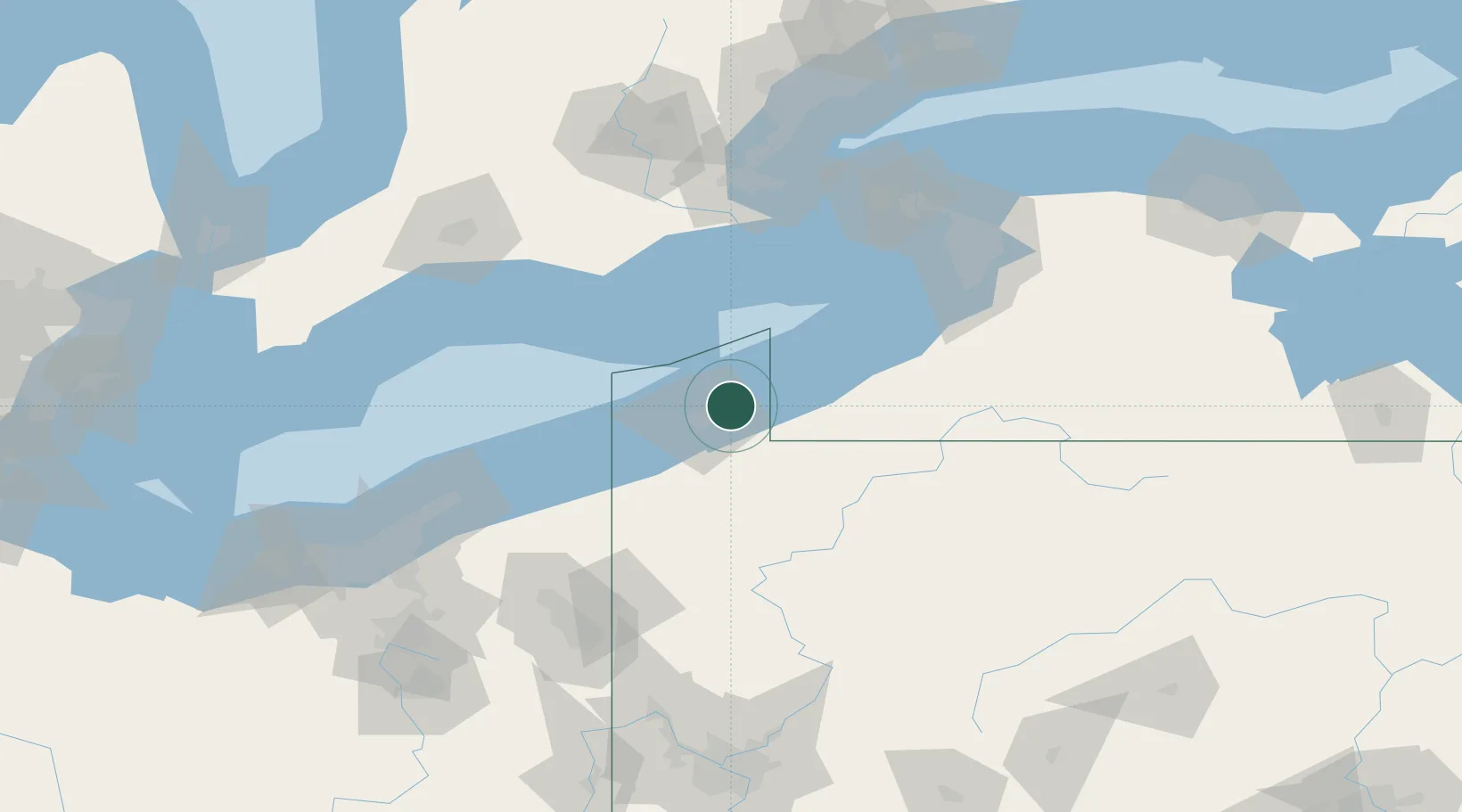
Hub Profile
Place type
Populated place
Region
Pennsylvania
Time zone
America/New_York
Elevation
219 m
Location
Nearby Logistics Neighbours
Ports
- 1Erie13 km
- 2Conneaut54 km
- 3Dunkirk62 km
- 4Port Dover72 km
- 5Ashtabula76 km
Airports
Trade Zones
- 1FTZ No. 247 Erie14 km
- 2FTZ No. 023 Buffalo118 km
- 3Niagara Foreign Trade Zone127 km
- 4FTZ No. 254 Jefferson County129 km
- 5FTZ No. 034 Niagara County146 km
DatabookThe Record of Consolidated Knowledge
United States beyond logistics?