Medium airport · Canada

St Thomas Municipal AirportCYQS
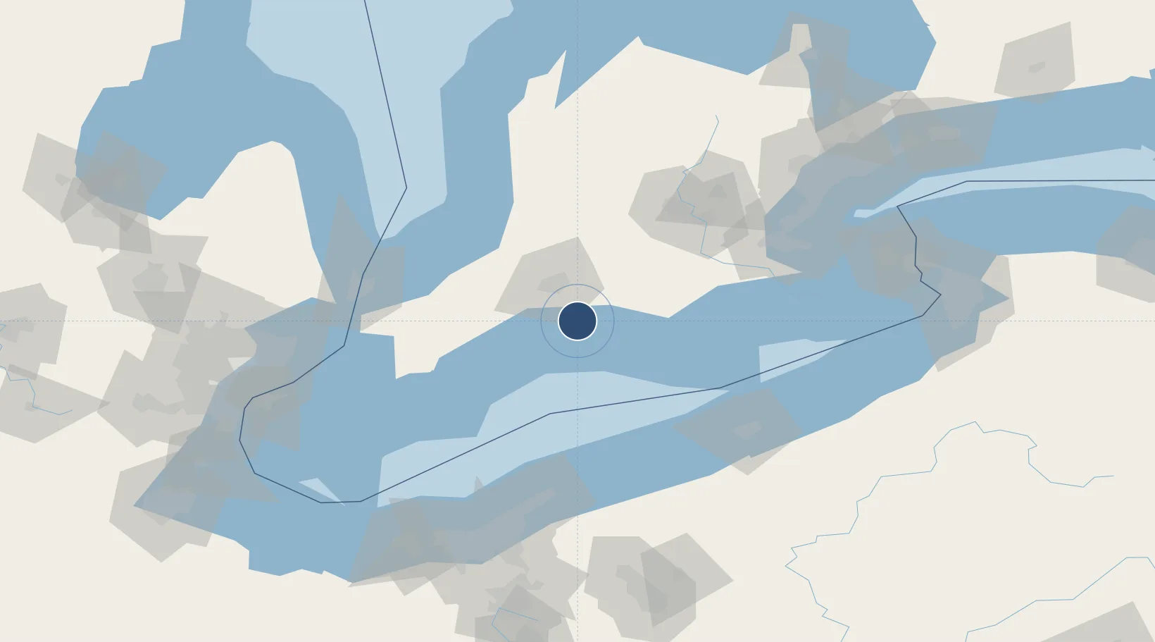
42.7700°, -81.1108°
5,013 ft
Longest runway
3
Runways
778 ft
Elevation

Runway & Layout

St Thomas Municipal Airport runway & taxiway layout
Runway & taxiway layout — OpenStreetMap (ODbL) / OurAirports

Radio Frequencies

CNTR
135.3 MHz
TORONTO CNTR
UNIC
122.7 MHz
ATF/UNICOM
OurAirports

Navaids

7B NDB St Thomas 375 kHz
OurAirports

Runways · 3

RunwayDimensions SurfaceTrue headingLit
09/27 5,013 × 100ft Asphalt 085°
15/33 2,610 × 75ft Asphalt 145°
03/21 2,607 × 75ft Asphalt 025°
OurAirports

Airport Specifications

IATA code
YQS
OurAirports
ICAO code
CYQS
OurAirports
Airport class
Medium airport
OurAirports
Scheduled service
No
OurAirports
Runway surface
Asphalt
OurAirports
Served city
St Thomas
OurAirports

Location

Location of CYQS
Natural Earth 10m (public domain) · Ontario · CYQS · 42.77, -81.11GoogleOSMYandex

Nearby Logistics Neighbours

Airports
  1. 1London International Airport29 km
  2. 2Centralia / James T. Field Memorial Aerodrome66 km
  3. 3Brantford Municipal Airport74 km
  4. 4Region of Waterloo International Airport97 km
  5. 5Chris Hadfield Airport101 km
Nearest neighbours — logibook spatial index (haversine) over the source coordinates
Cities
  1. 1Talbotville Royal12 km
  2. 2Dorchester24 km
  3. 3Vienna28 km
  4. 4Thamesford33 km
  5. 5Tillsonburg33 km
Nearest neighbours — logibook spatial index (haversine) over the source coordinates
Ports
  1. 1Port Stanley14 km
  2. 2Port Dover74 km
  3. 3Rondeau86 km
  4. 4Ashtabula100 km
  5. 5Conneaut101 km
Nearest neighbours — logibook spatial index (haversine) over the source coordinates
Trade Zones
  1. 1FTZ No. 247 Erie110 km
  2. 2FTZ No. 210 St. Clair County116 km
  3. 3FTZ No. 040 Cleveland154 km
  4. 4Windsor - Essex Foreign Trade Zone165 km
  5. 5Niagara Foreign Trade Zone172 km
Nearest neighbours — logibook spatial index (haversine) over the source coordinates
DatabookThe Record of Consolidated Knowledge
Canada beyond logistics?
Browse databook

All Sources

AirportsOurAirports
Public domain
Portsthe NGA World Port Index
Public domain (US gov)
LocationsUN/LOCODE
UN/LOCODE — free
Trade Zonesthe World Bank SEZ database
CC BY 4.0
Trade ZonesOpen Zone Map
CC BY
InfrastructureOpenStreetMap
ODbL 1.0
← Canada airports