UN/LOCODE hub · United States
USMNH

Manhattan/New York

40.7833°, -73.9667°
2
Transport functions

Transport Functions

Port
Road
UN/LOCODE

Hub Profile

Region
NY
GeoNames

Location

Location of USMNH
Natural Earth 10m (public domain) · NY · USMNH · 40.78, -73.97GoogleOSMYandex

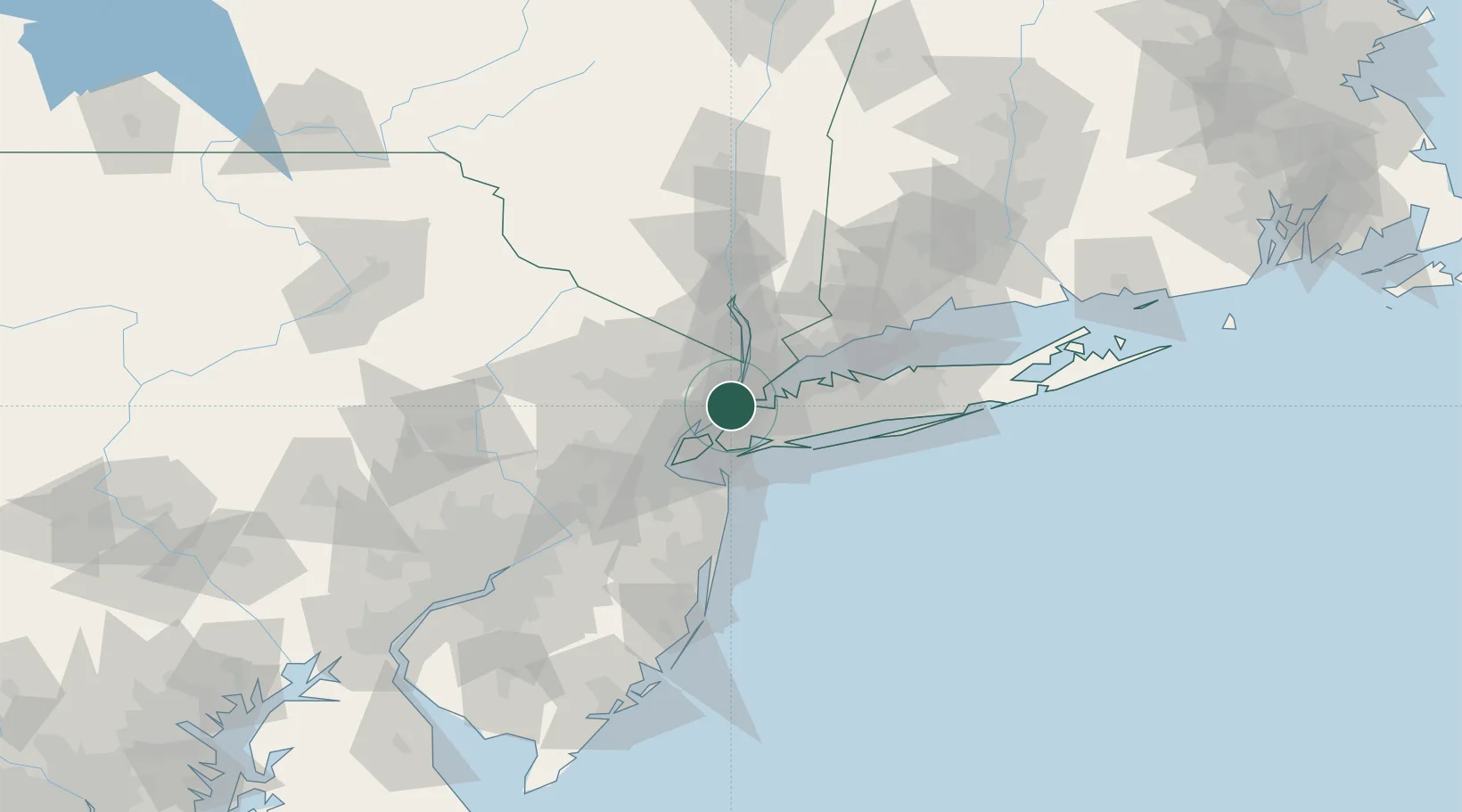
Nearby Logistics Neighbours

Cities
  1. 1Guttenberg3 km
  2. 2Fair View4 km
  3. 3Port Morris, Bronx5 km
  4. 4Sunnyside, Queens7 km
  5. 5Leonia8 km
Nearest neighbours — logibook spatial index (haversine) over the source coordinates
Ports
  1. 1Edgewater4 km
  2. 2Weehawken5 km
  3. 3Hoboken6 km
  4. 4Jersey City9 km
  5. 5New York City10 km
Nearest neighbours — logibook spatial index (haversine) over the source coordinates
Airports
  1. 1East 34th Street Heliport5 km
  2. 2West 30th Street Heliport5 km
  3. 3New York Skyports Inc Seaplane Base5 km
  4. 4LaGuardia Airport8 km
  5. 5Teterboro Airport11 km
Nearest neighbours — logibook spatial index (haversine) over the source coordinates
Trade Zones
  1. 1FTZ No. 001 New York City9 km
  2. 2FTZ No. 049 Newark Elizabeth21 km
  3. 3FTZ No. 052 Suffolk County66 km
  4. 4FTZ No. 044 Morris County76 km
  5. 5FTZ No. 076 Bridgeport78 km
Nearest neighbours — logibook spatial index (haversine) over the source coordinates
DatabookThe Record of Consolidated Knowledge
United States beyond logistics?
Browse databook

All Sources

LocationsUN/LOCODE
UN/LOCODE — free
Portsthe NGA World Port Index
Public domain (US gov)
AirportsOurAirports
Public domain
Trade Zonesthe World Bank SEZ database
CC BY 4.0
Trade ZonesOpen Zone Map
CC BY
← United States locations