Transport Functions
Port
Rail
Road
Multimodal
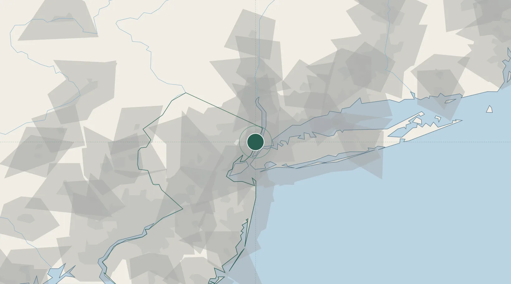
Hub Profile
Place type
Populated place
Region
New Jersey
Population
9,219
Time zone
America/New_York
Elevation
32 m
Location
Nearby Logistics Neighbours
Cities
- 1Fair View4 km
- 2Hasbrouck Heights7 km
- 3Tenafly8 km
- 4Manhattan/New York8 km
- 5Guttenberg8 km
Ports
- 1Edgewater4 km
- 2Weehawken10 km
- 3Hoboken12 km
- 4Yonkers12 km
- 5Jersey City15 km
Airports
Trade Zones
DatabookThe Record of Consolidated Knowledge
United States beyond logistics?