Seaport · United States
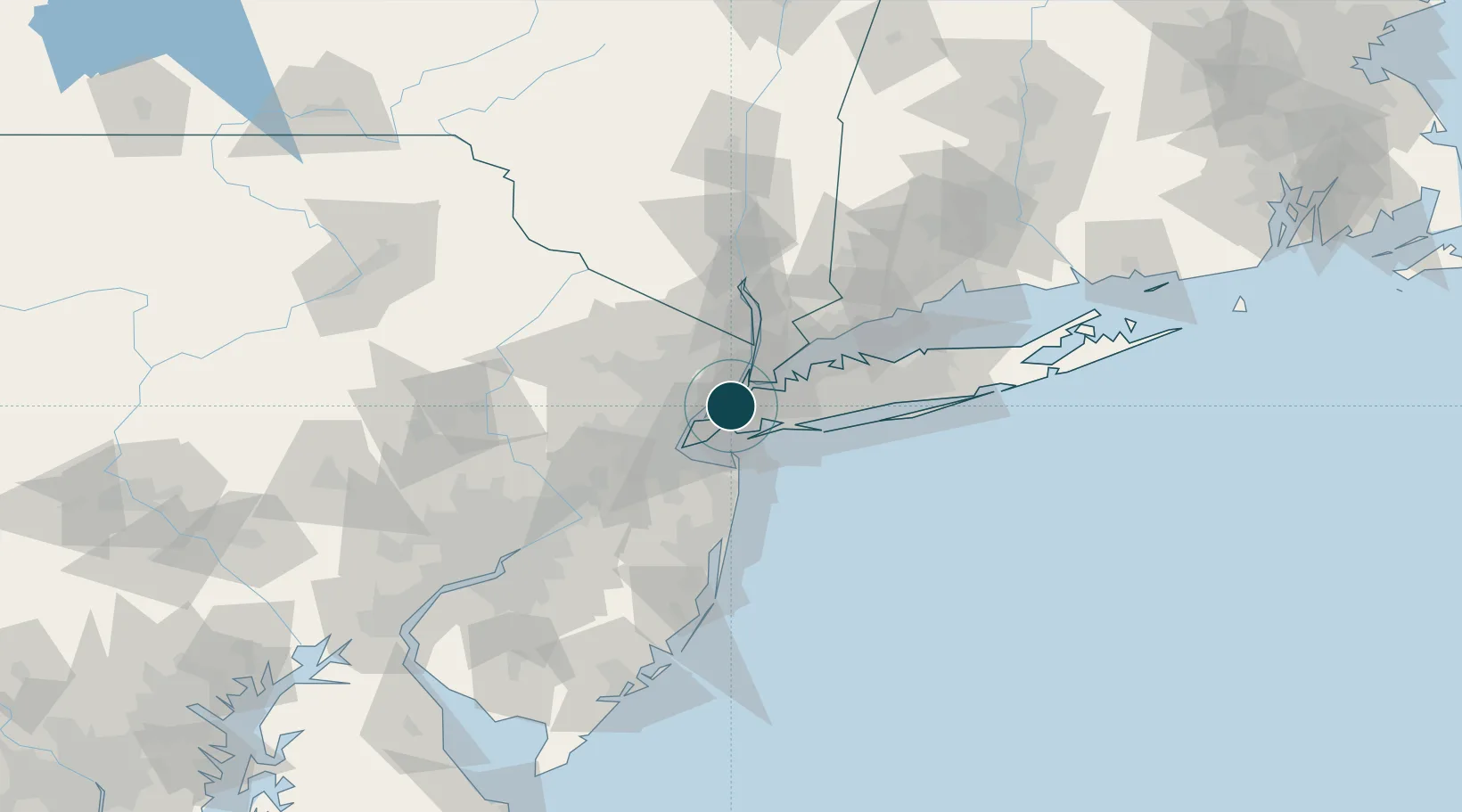
New York CityUSNYC
40.7000°, -74.0167°
12.5 m
Channel depth
7
Container terminals
521.1
Port liner connectivity
Channel & Berth Profile
Pilotage, Tugs & Services
Pilotage compulsoryYES
Tug assistanceYES
Salvage tugsYES
Shore powerYES
Potable waterYES
Diesel bunkersYES
MedicalYES
Garbage disposalYES
Facilities & Capabilities
Container—
Ro-Ro—
Liquid bulk—
Dry bulk—
Oil terminal—
Break bulk—
Dry dockNO
RepairsNO
BunkeringYES
Rail linkYES
Dangerous cargo—
ISPS security—
Harbour Specifications
Harbour size
Large
Harbour type
River (Natural)
Shelter
Excellent
Water body
North Atlantic Ocean
Tidal range
1.5 m
Overhead limit
Yes
Pilotage
Yes
Liner Connectivity
521.1
PLSCI
Port Liner Shipping Connectivity Index for New York City, as published by UNCTAD for the latest available quarter. Higher values indicate stronger scheduled liner-shipping integration.
Shown relative to the highest per-port PLSCI in the dataset (1,657.9).
Location
Container Terminals · 7
APM TERMINALS ELIZABETH
APMT
GCT BAYONNE
GTC GLOBAL CONTAINER TERMINALS
MAHER CONTAINER TERMINAL
MAHER MAHER TERMINALS, LLC
GCT NEW YORK
NYCT GLOBAL CONTAINER TERMINALS
PORT NEWARK CONTAINER TERMINAL
PNCT PORTS AMERICA
RED HOOK BARGE TERMINAL NEWARK
RHBT RED HOOK TERMINALS
RED HOOK CONTAINER TERMINAL
RHCT RED HOOK TERMINALS
Nearby Logistics Neighbours
Ports
- 1Jersey City2 km
- 2Brooklyn4 km
- 3Hoboken6 km
- 4Bayonne7 km
- 5Weehawken7 km
Cities
- 1Brooklyn/New York2 km
- 2Croxton5 km
- 3Jersey City8 km
- 4Linden Hill8 km
- 5Bayonne8 km
Airports
Trade Zones
DatabookThe Record of Consolidated Knowledge
United States beyond logistics?