UN/LOCODE hub · United States
USGUG
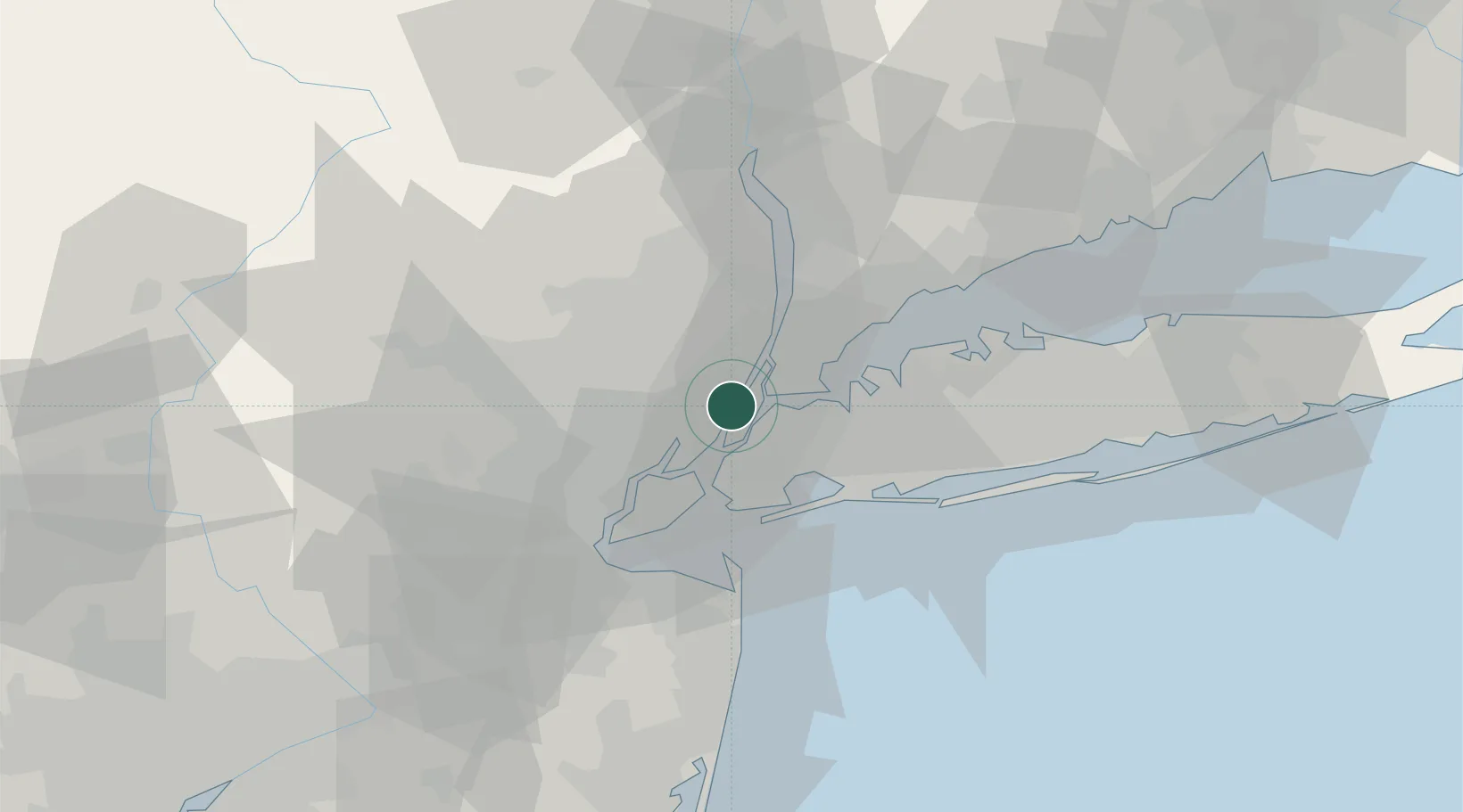
Guttenberg
40.7833°, -74.0000°
11,665
Population
2
Transport functions
Transport Functions
Port
Road
Hub Profile
Place type
Populated place
Region
New Jersey
Population
11,665
Time zone
America/New_York
Elevation
61 m
Location
Nearby Logistics Neighbours
Cities
- 1Manhattan/New York3 km
- 2Fair View4 km
- 3Croxton7 km
- 4Port Morris, Bronx7 km
- 5Leonia8 km
Ports
- 1Weehawken2 km
- 2Edgewater4 km
- 3Hoboken4 km
- 4Jersey City8 km
- 5New York City9 km
Airports
Trade Zones
DatabookThe Record of Consolidated Knowledge
United States beyond logistics?