Transport Functions
Rail
Road
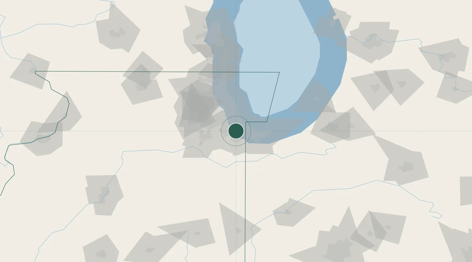
Hub Profile
Place type
Populated place
Region
Illinois
Population
3,597
Time zone
America/Chicago
Elevation
183 m
Logistics facilities
1
Location
Nearby Logistics Neighbours
Cities
- 1Phoenix4 km
- 2Hazel Crest7 km
- 3Thornton8 km
- 4Homewood8 km
- 5Glenwood12 km
Ports
- 1Calumet Harbor17 km
- 2Indiana Harbor20 km
- 3Gary28 km
- 4Chicago29 km
- 5Wilmette51 km
Airports
Trade Zones
- 1FTZ No. 022 Chicago29 km
- 2FTZ No. 152 Burns Harbor42 km
- 3FTZ No. 292 Lake County80 km
- 4FTZ No. 125 South Bend110 km
- 5FTZ No. 176 Rockford146 km
DatabookThe Record of Consolidated Knowledge
United States beyond logistics?