Channel & Berth Profile
Pilotage, Tugs & Services
Pilotage compulsoryNO
Pilotage availableNO
Tug assistanceNO
Salvage tugsNO
Potable waterYES
Diesel bunkersNO
Facilities & Capabilities
Container—
Ro-Ro—
Liquid bulk—
Dry bulk—
Oil terminal—
Break bulk—
Dry dock—
RepairsNO
BunkeringNO
Rail link—
Dangerous cargo—
ISPS security—
Harbour Specifications
Harbour size
Very Small
Harbour type
Coastal (Natural)
Shelter
Fair
Water body
North Atlantic Ocean
Overhead limit
No
Pilotage
No
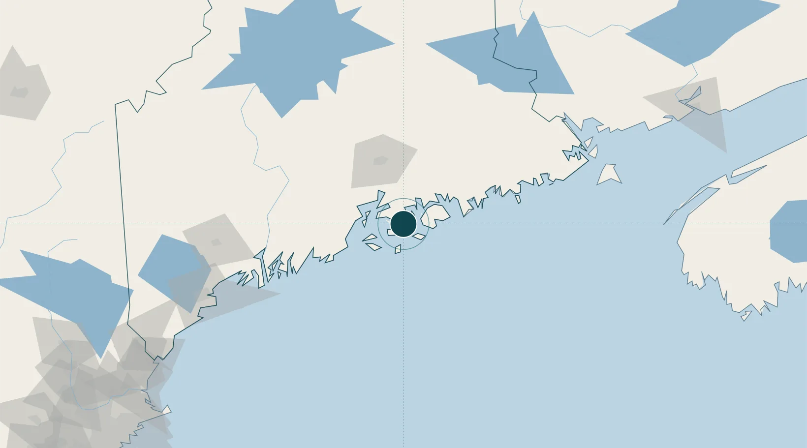
Location
Nearby Logistics Neighbours
Ports
- 1Stonington15 km
- 2Castine18 km
- 3Swans Island18 km
- 4Bass Harbor19 km
- 5Southwest Harbor21 km
Cities
- 1Little Deer Isle8 km
- 2Ellsworth33 km
- 3Camden38 km
- 4Hancock38 km
- 5Rockport41 km
Airports
- 1Islesboro Airport26 km
- 2Witherspoons Airport27 km
- 3Hancock County-Bar Harbor Airport27 km
- 4Vinalhaven Airport29 km
- 5Knox County Regional Airport47 km
Trade Zones
- 1FTZ No. 058 Bangor63 km
- 2FTZ No. 186 Waterville94 km
- 3FTZ No. 263 Auburn131 km
- 4FTZ No. 081 Portsmouth226 km
- 5Saint John228 km
DatabookThe Record of Consolidated Knowledge
United States beyond logistics?