Seaport · Taiwan

MailiaoTWMLI

23.7833°, 120.1667°
21.6 m
Channel depth
17.5
Port liner connectivity
Mailiao is also a UN/LOCODE logistics hub →

Channel & Berth Profile

SEA LEVEL (CD)CHANNEL BEDCargo pier · 14.0 mOil terminal · 18.6 mChannel · 21.6 m
NGA World Port Index

Pilotage, Tugs & Services

Pilotage compulsoryYES
Pilotage availableYES
Tug assistanceYES
Potable waterYES
Diesel bunkersYES
MedicalYES
Garbage disposalYES
NGA World Port Index

Facilities & Capabilities

Container
Ro-Ro
Liquid bulk
Dry bulk
Oil terminal
Break bulk
Dry dockNO
RepairsNO
BunkeringYES
Rail linkYES
Dangerous cargo
ISPS security
NGA World Port Index

Harbour Specifications

Harbour size
Very Small
NGA World Port Index
Harbour type
Coastal (Breakwater)
NGA World Port Index
Shelter
Poor
NGA World Port Index
Water body
Taiwan Strait; North Pacific Ocean
NGA World Port Index
Tidal range
5 m
NGA World Port Index
Pilotage
Yes
NGA World Port Index

Liner Connectivity

17.5
PLSCI

Port Liner Shipping Connectivity Index for Mailiao, as published by UNCTAD for the latest available quarter. Higher values indicate stronger scheduled liner-shipping integration.

Shown relative to the highest per-port PLSCI in the dataset (1,657.9).
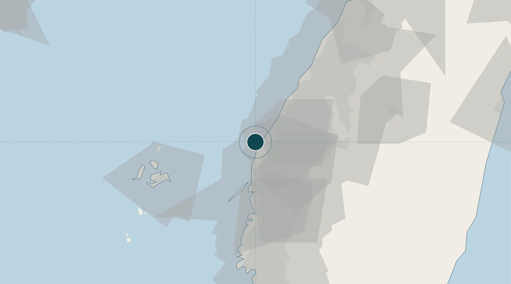
UNCTAD · Port Liner Shipping Connectivity Index

Location

Location of TWMLI
Natural Earth 10m (public domain) · Yunlin · TWMLI · 23.78, 120.17GoogleOSMYandex

Nearby Logistics Neighbours

Ports
  1. 1Tai-Chung Kang67 km
  2. 2Peng-Hu Kang68 km
  3. 3Kao-Hsiung130 km
  4. 4Hua-Lien Kang147 km
  5. 5Su-Ao195 km
Nearest neighbours — logibook spatial index (haversine) over the source coordinates
Cities
  1. 1Mai-Liai9 km
  2. 2Budai47 km
  3. 3Chang-Hua48 km
  4. 4Nantou54 km
  5. 5Lung-men56 km
Nearest neighbours — logibook spatial index (haversine) over the source coordinates
Airports
  1. 1Chiayi Airport42 km
  2. 2Penghu Magong Airport60 km
  3. 3Taichung International Airport / Ching Chuang Kang Air Base71 km
  4. 4Tainan International Airport / Tainan Air Base93 km
  5. 5Gangshan Air Force Base112 km
Nearest neighbours — logibook spatial index (haversine) over the source coordinates
Trade Zones
  1. 1Chung-Kang Export Processing Zone62 km
  2. 2Taichung Software-Based Technology Park62 km
  3. 3Port Of Taichung Free Trade Zone66 km
  4. 4Taichung Export Processing Zone73 km
  5. 5Port Of Anping Free Trade Zone91 km
Nearest neighbours — logibook spatial index (haversine) over the source coordinates
DatabookThe Record of Consolidated Knowledge
Taiwan beyond logistics?
Browse databook

All Sources

Portsthe NGA World Port Index
Public domain (US gov)
Logistics performanceUNCTAD
CC BY 3.0 IGO
AirportsOurAirports
Public domain
LocationsUN/LOCODE
UN/LOCODE — free
Trade Zonesthe World Bank SEZ database
CC BY 4.0
Trade ZonesOpen Zone Map
CC BY
← Taiwan ports