Transport Functions
Port
Hub Profile
Place type
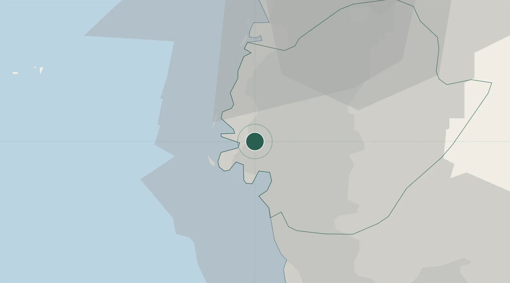
Populated place
Region
Taiwan
Time zone
Asia/Taipei
Elevation
11 m
Location
Nearby Logistics Neighbours
Cities
- 1Yung-K'Ang15 km
- 2Budai30 km
- 3Kaohsiung63 km
- 4Lung-men70 km
- 5Mai-Liai73 km
Ports
- 1Kao-Hsiung55 km
- 2Peng-Hu Kang82 km
- 3Tai-Chung Kang139 km
- 4Hua-Lien Kang179 km
- 5Su-Ao243 km
Airports
DatabookThe Record of Consolidated Knowledge
Taiwan beyond logistics?