Medium airport · Taiwan
Chiayi AirportRCKU
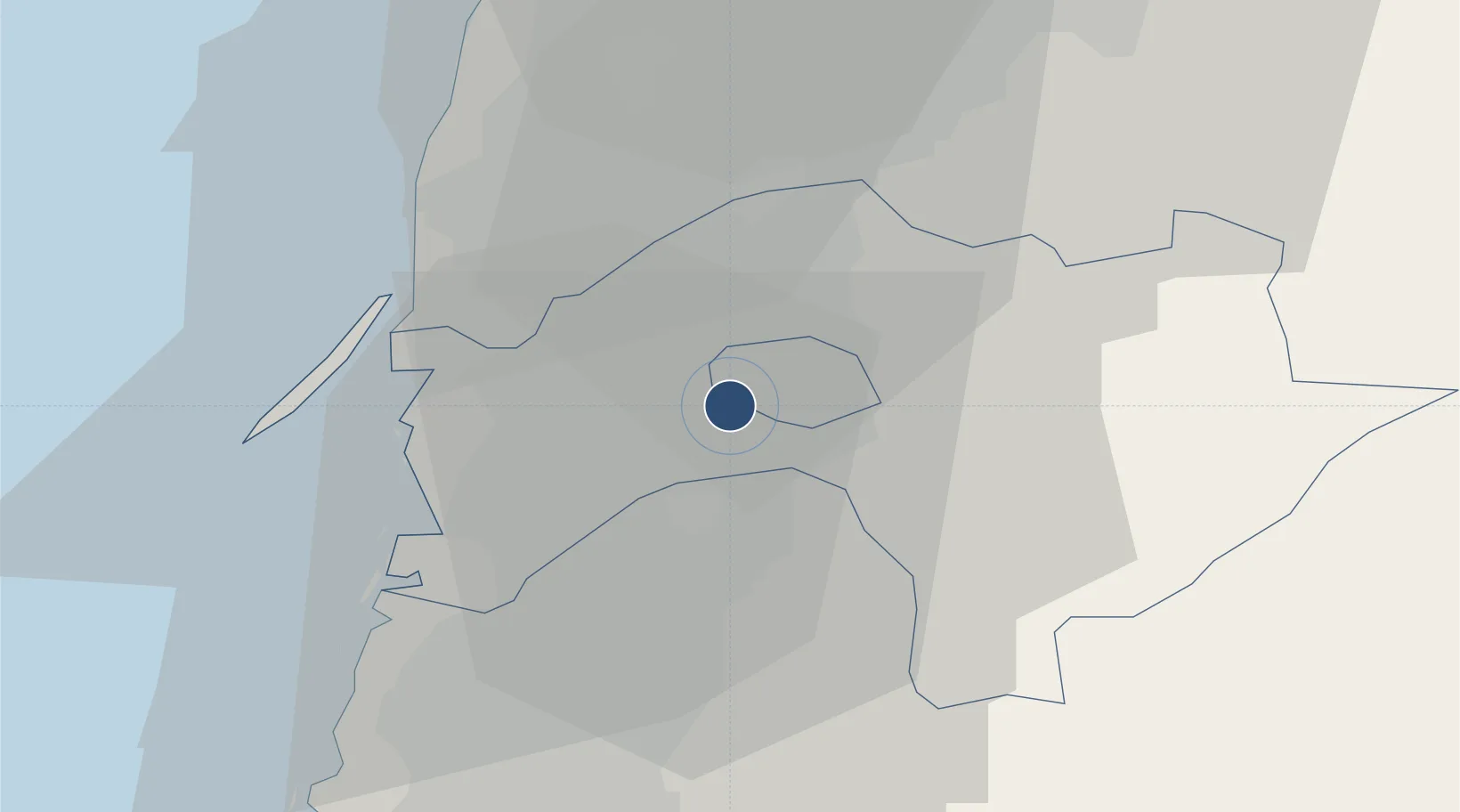
23.4626°, 120.3905°
10,007 ft
Longest runway
3
Runways
85 ft
Elevation
Runway & Layout

Radio Frequencies
TWR
118.6 MHz
APP
120.6 MHz
TAICHUNG APP
ACC
125.5 MHz
TAIPEI ACC
Navaids
CHI TACAN Chiayi 111.80 MHz
KU NDB Chiayi 525 kHz
Runways · 3
| Runway | Dimensions | Surface | True heading | Lit |
|---|---|---|---|---|
| 18R/36L | 10,007 × 148ft | Concrete | 180° | ✓ |
| 18L/36R | 5,307 × 74ft | Asphalt | 179° | — |
| 18/36 | — | Unknown | — | — |
Airport Specifications
IATA code
CYI
ICAO code
RCKU
Airport class
Medium airport
Scheduled service
Yes
Runway surface
Concrete
Served city
Shuishang
Location
Nearby Logistics Neighbours
Airports
Cities
- 1Budai32 km
- 2Mai-Liai35 km
- 3Mai-liao48 km
- 4Yung-K'Ang52 km
- 5Nantou57 km
Ports
- 1Mailiao42 km
- 2Peng-Hu Kang88 km
- 3Tai-Chung Kang94 km
- 4Kao-Hsiung95 km
- 5Hua-Lien Kang136 km
Trade Zones
DatabookThe Record of Consolidated Knowledge
Taiwan beyond logistics?