Large airport · Taiwan

Taichung International Airport / Ching Chuang Kang Air BaseRCMQ
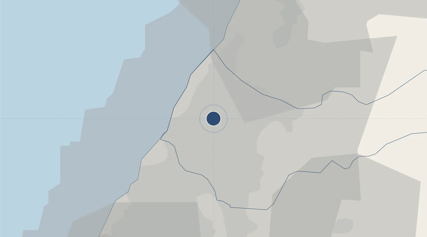
24.2647°, 120.6210°
12,000 ft
Longest runway
1
Runways
663 ft
Elevation

Runway & Layout

Taichung International Airport / Ching Chuang Kang Air Base runway & taxiway layout
Runway & taxiway layout — OpenStreetMap (ODbL) / OurAirports

Radio Frequencies

ATIS
127.75 MHz
CINGCYUANGANG AIRPORT
Tower
120.25 MHz
CCK Tower
TWR
118.75 MHz
APP
120.4 MHz
TAICHUNG APP
OurAirports

Navaids

TC NDB Taichung 210 kHz
TCK DME Taichung 108.40 MHz
OurAirports

Runways · 1

RunwayDimensions SurfaceTrue headingLit
18/36 12,000 × 148ft Concrete 176°
OurAirports

Airport Specifications

IATA code
RMQ
OurAirports
ICAO code
RCMQ
OurAirports
Airport class
Large airport
OurAirports
Scheduled service
Yes
OurAirports
Runway surface
Concrete
OurAirports
Served city
Taichung (Qingshui)
OurAirports

Location

Location of RCMQ
Natural Earth 10m (public domain) · Taichung City · RCMQ · 24.26, 120.62GoogleOSMYandex

Nearby Logistics Neighbours

Airports
  1. 1Hsinchu Air Base69 km
  2. 2Longtan Air Base90 km
  3. 3Chiayi Airport92 km
  4. 4Hualien Chiashan Airport105 km
  5. 5Taiwan Taoyuan International Airport110 km
Nearest neighbours — logibook spatial index (haversine) over the source coordinates
Cities
  1. 1Taichung9 km
  2. 2Feng-yüan-ch'ü10 km
  3. 3Wu-jih18 km
  4. 4Chang-Hua24 km
  5. 5Miao-li37 km
Nearest neighbours — logibook spatial index (haversine) over the source coordinates
Ports
  1. 1Tai-Chung Kang13 km
  2. 2Mailiao71 km
  3. 3Hua-Lien Kang104 km
  4. 4Tan-Shui129 km
  5. 5Su-Ao132 km
Nearest neighbours — logibook spatial index (haversine) over the source coordinates
Trade Zones
  1. 1Taichung Export Processing Zone10 km
  2. 2Taichung Software-Based Technology Park10 km
  3. 3Chung-Kang Export Processing Zone11 km
  4. 4Port Of Taichung Free Trade Zone11 km
  5. 5Taoyuan International Airport Free Trade Zone109 km
Nearest neighbours — logibook spatial index (haversine) over the source coordinates
DatabookThe Record of Consolidated Knowledge
Taiwan beyond logistics?
Browse databook

All Sources

AirportsOurAirports
Public domain
Portsthe NGA World Port Index
Public domain (US gov)
LocationsUN/LOCODE
UN/LOCODE — free
Trade Zonesthe World Bank SEZ database
CC BY 4.0
Trade ZonesOpen Zone Map
CC BY
InfrastructureOpenStreetMap
ODbL 1.0
← Taiwan airports