Seaport · Taiwan
Kao-HsiungTWKHH
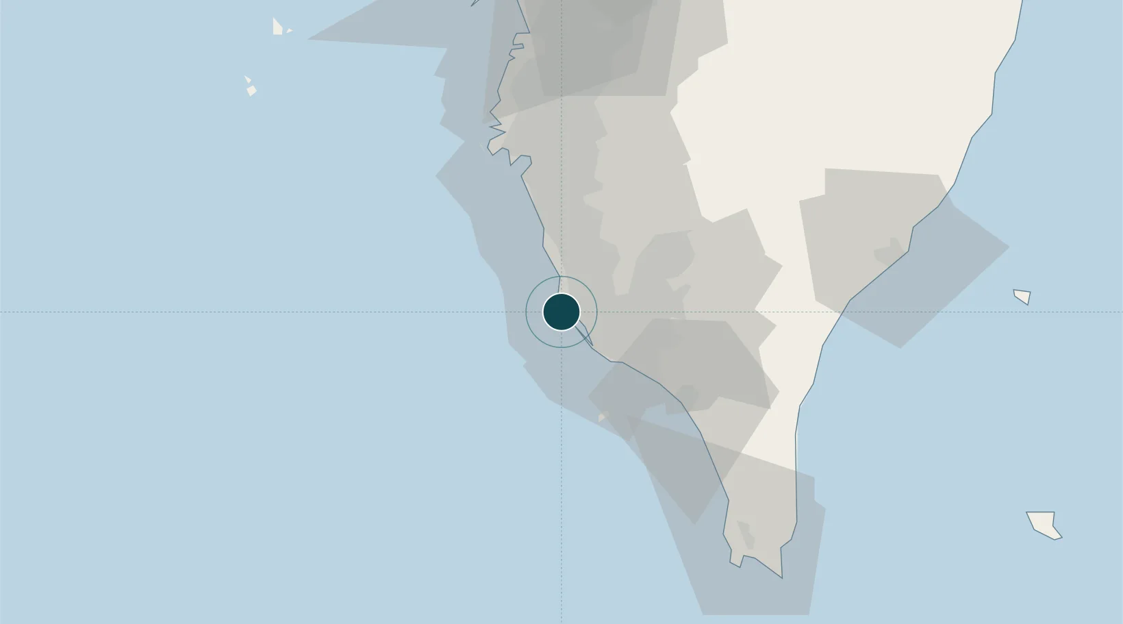
22.6167°, 120.2500°
12.5 m
Channel depth
9
Container terminals
865.7
Port liner connectivity
Channel & Berth Profile
Pilotage, Tugs & Services
Pilotage compulsoryYES
Pilotage availableYES
Pilotage advisableYES
Tug assistanceYES
Salvage tugsYES
Shore powerYES
Potable waterYES
Diesel bunkersYES
MedicalYES
Garbage disposalYES
Facilities & Capabilities
ContainerYES
Ro-Ro—
Liquid bulkYES
Dry bulkYES
Oil terminalYES
Break bulkYES
Dry dockNO
RepairsNO
BunkeringYES
Rail linkYES
Dangerous cargoALLOW
ISPS security—
Harbour Specifications
Harbour size
Large
Harbour type
Coastal (Breakwater)
Shelter
Excellent
Water body
South China Sea; North Pacific Ocean
Tidal range
1.5 m
Pilotage
Yes
Liner Connectivity
865.7
PLSCI
Port Liner Shipping Connectivity Index for Kao-Hsiung, as published by UNCTAD for the latest available quarter. Higher values indicate stronger scheduled liner-shipping integration.
Shown relative to the highest per-port PLSCI in the dataset (1,657.9).
Location
Container Terminals · 9
CMA TERMINAL (W68-69)
CMAKT CMA CGM KAOHSIUNG TERMINAL CO., LTD.
EVERGREEN TERMINAL KCC7 (S01-S05)
EMCKC7 EVERGREEN MARINE CORP. (TAIWAN) LTD.
HMM PACIFIC TERMINAL (W76-W78)
HJPCT HYUNDAI MERCHANT MARINE PACIFIC CO., LTD. (TAIWAN BRANCH)
OOCL TERMINAL (W65-W67)
KAOCT OOCL (TAIWAN) CO., LTD.
LIEN HAI TERMINAL (W42-W43)
KHHPT LIEN HAI TERMINAL CORP.
KAO MING TERMINAL (W108-W111)
KMCT KAO MING CONTAINER TERMINAL CORP.
TIPC KAOHSIUNG TERMINAL 4 (W120-W121)
TIPC4 TAIWAN INTERNATIONAL PORTS CORP., LTD. (TIPC)
WAN HAI TERMINAL (W63-W64)
WHLT WAN HAI LINES LTD.
YANG MING TERMINAL (W70)
YMLT YANG MING MARINE TRANSPORT CORP.
Nearby Logistics Neighbours
Ports
- 1Mailiao130 km
- 2Peng-Hu Kang130 km
- 3Tai-Chung Kang189 km
- 4Hua-Lien Kang205 km
- 5Su-Ao275 km
Cities
- 1Yung-K'Ang45 km
- 2Mai-liao55 km
- 3Budai85 km
- 4Lung-men121 km
- 5Mai-Liai126 km
Airports
DatabookThe Record of Consolidated Knowledge
Taiwan beyond logistics?