Transport Functions
Rail
Road
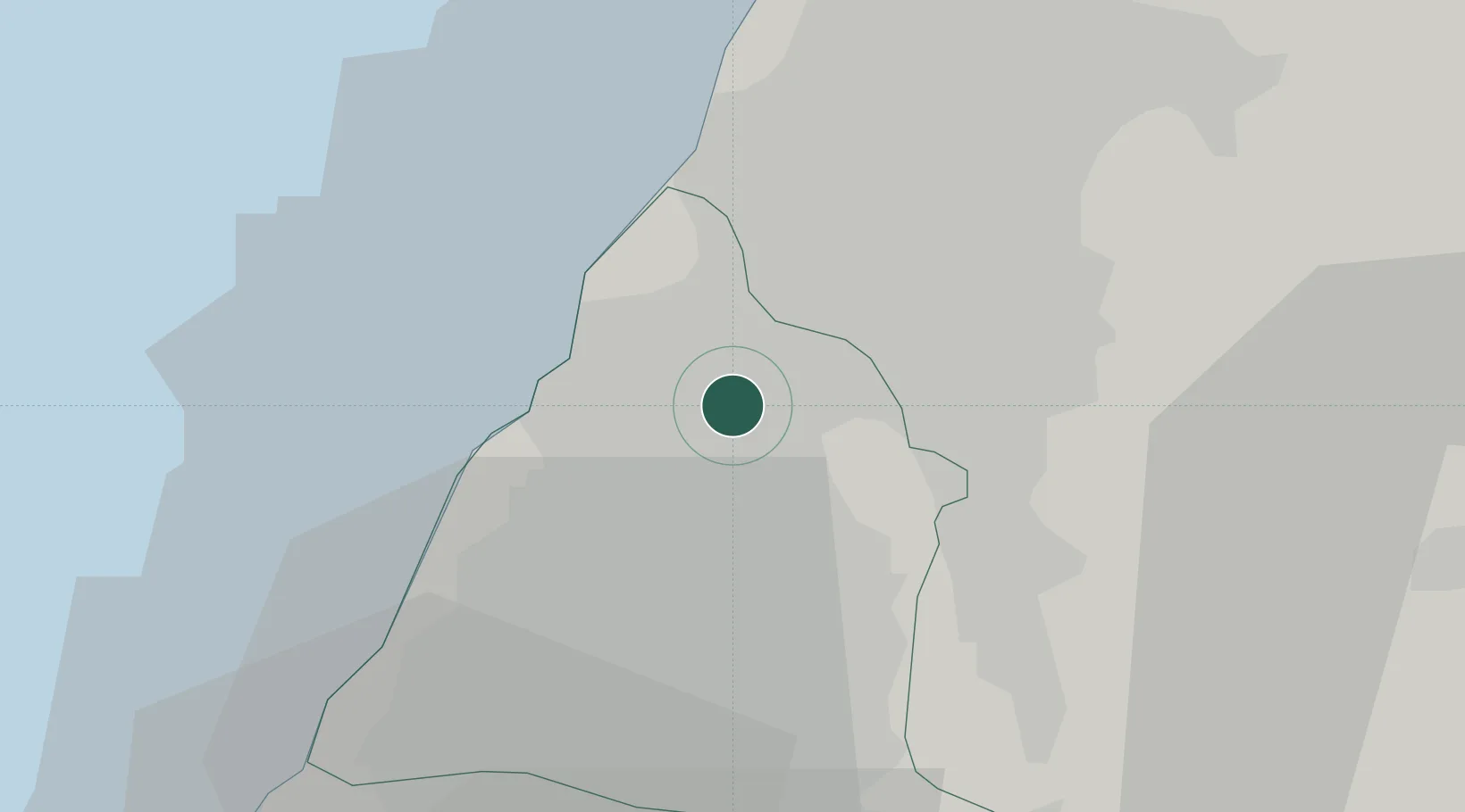
Hub Profile
Place type
Populated place
Region
Taiwan
Population
226,564
Time zone
Asia/Taipei
Elevation
28 m
Location
Nearby Logistics Neighbours
Cities
- 1Wu-jih11 km
- 2Taichung21 km
- 3Nantou25 km
- 4Feng-yüan-ch'ü29 km
- 5Mai-Liai44 km
Ports
- 1Tai-Chung Kang26 km
- 2Mailiao48 km
- 3Hua-Lien Kang110 km
- 4Peng-Hu Kang114 km
- 5Su-Ao149 km
Airports
Trade Zones
DatabookThe Record of Consolidated Knowledge
Taiwan beyond logistics?