Medium airport · Taiwan

Gangshan Air Force BaseRCAY
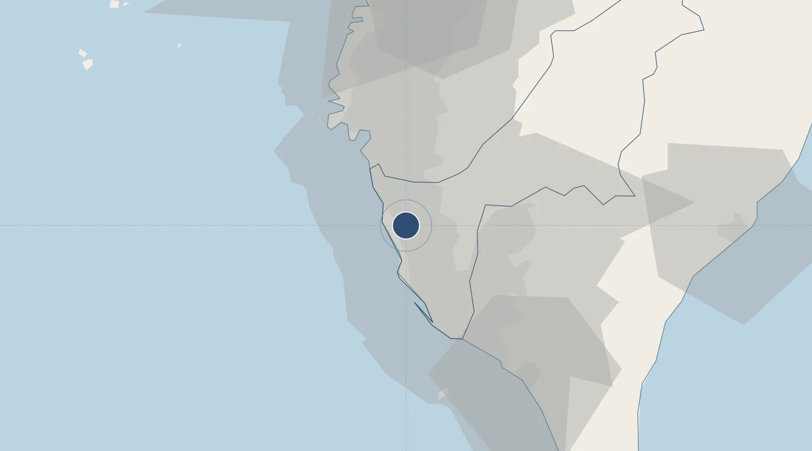
22.7825°, 120.2630°
8,019 ft
Longest runway
3
Runways
34 ft
Elevation

Runway & Layout

Gangshan Air Force Base runway & taxiway layout
Runway & taxiway layout — OpenStreetMap (ODbL) / OurAirports

Radio Frequencies

TWR
126.18 MHz
APP
119.5 MHz
KAOHSIUNG APP
OurAirports

Runways · 3

RunwayDimensions SurfaceTrue headingLit
18R/36L 8,019 × 145ft Concrete 181°
18L/36R 7,435 × 145ft Asphalt 181°
18/36 Unknown
OurAirports

Airport Specifications

ICAO code
RCAY
OurAirports
Airport class
Medium airport
OurAirports
Scheduled service
No
OurAirports
Runway surface
Concrete
OurAirports
Served city
Kaohsiung (Gangshan)
OurAirports

Location

Location of RCAY
Natural Earth 10m (public domain) · Kaohsiung City · RCAY · 22.78, 120.26GoogleOSMYandex

Nearby Logistics Neighbours

Airports
  1. 1Zuoying Naval Airfield9 km
  2. 2Tainan International Airport / Tainan Air Base20 km
  3. 3Pingtung Air Force Base24 km
  4. 4Pingtung Air Force Base North24 km
  5. 5Kaohsiung International Airport25 km
Nearest neighbours — logibook spatial index (haversine) over the source coordinates
Cities
  1. 1Kaohsiung25 km
  2. 2Yung-K'Ang26 km
  3. 3Mai-liao38 km
  4. 4Budai67 km
  5. 5Lung-men106 km
Nearest neighbours — logibook spatial index (haversine) over the source coordinates
Ports
  1. 1Kao-Hsiung19 km
  2. 2Mailiao112 km
  3. 3Peng-Hu Kang116 km
  4. 4Tai-Chung Kang171 km
  5. 5Hua-Lien Kang191 km
Nearest neighbours — logibook spatial index (haversine) over the source coordinates
Trade Zones
  1. 1Nantze 2nd Export Processing Zone10 km
  2. 2Port Of Kaohsiung Free Trade Zone18 km
  3. 3Kaohsiung Software-Based Technology Park20 km
  4. 4Kaohsiung Export Processing Zone20 km
  5. 5Port Of Anping Free Trade Zone23 km
Nearest neighbours — logibook spatial index (haversine) over the source coordinates
DatabookThe Record of Consolidated Knowledge
Taiwan beyond logistics?
Browse databook

All Sources

AirportsOurAirports
Public domain
Portsthe NGA World Port Index
Public domain (US gov)
LocationsUN/LOCODE
UN/LOCODE — free
Trade Zonesthe World Bank SEZ database
CC BY 4.0
Trade ZonesOpen Zone Map
CC BY
InfrastructureOpenStreetMap
ODbL 1.0
← Taiwan airports