Free Trade Zone · Taiwan

Port Of Anping Free Trade Zone Active
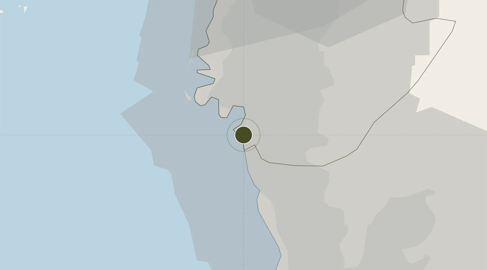
22.9676°, 120.1657°
72 ha
Zone area
40.0 km
Nearest port
4.5 km
Nearest airport

Gateway access

Nearest neighbours — logibook spatial index (haversine) over the source coordinates

Zone profile

Zone type
Free Trade Zone
Open Zone Map
Region
Tainan City
Open Zone Map
Status
Active
Open Zone Map
Management
Public
Open Zone Map
Operator
Taiwan International Ports Corporation Ltd.
Open Zone Map
Legal framework
Act for the Establishment and Management of Free Trade zones
Open Zone Map

Location

Location of ozm-4391
Natural Earth 10m (public domain) · Tainan City · ozm-4391 · 22.97, 120.17GoogleOSMYandex

Nearby Logistics Neighbours

Ports
  1. 1Kao-Hsiung40 km
  2. 2Mailiao91 km
  3. 3Peng-Hu Kang94 km
  4. 4Tai-Chung Kang152 km
  5. 5Hua-Lien Kang185 km
Nearest neighbours — logibook spatial index (haversine) over the source coordinates
Airports
  1. 1Tainan International Airport / Tainan Air Base5 km
  2. 2Gangshan Air Force Base23 km
  3. 3Zuoying Naval Airfield32 km
  4. 4Pingtung Air Force Base North44 km
  5. 5Pingtung Air Force Base45 km
Nearest neighbours — logibook spatial index (haversine) over the source coordinates
Cities
  1. 1Yung-K'Ang10 km
  2. 2Mai-liao15 km
  3. 3Budai45 km
  4. 4Kaohsiung48 km
  5. 5Lung-men84 km
Nearest neighbours — logibook spatial index (haversine) over the source coordinates
Trade Zones
  1. 1Nantze 2nd Export Processing Zone32 km
  2. 2Port Of Kaohsiung Free Trade Zone40 km
  3. 3Kaohsiung Software-Based Technology Park43 km
  4. 4Kaohsiung Export Processing Zone43 km
  5. 5Pingtung Export Processing Zone47 km
Nearest neighbours — logibook spatial index (haversine) over the source coordinates
DatabookThe Record of Consolidated Knowledge
Taiwan beyond logistics?
Browse databook

All Sources

Trade ZonesOpen Zone Map
CC BY
Portsthe NGA World Port Index
Public domain (US gov)
AirportsOurAirports
Public domain
LocationsUN/LOCODE
UN/LOCODE — free
← Taiwan trade zones