Channel & Berth Profile
Pilotage, Tugs & Services
Pilotage compulsoryYES
Pilotage availableYES
Local assistanceYES
Tug assistanceYES
Potable waterYES
Diesel bunkersYES
MedicalYES
Garbage disposalYES
Facilities & Capabilities
Container—
Ro-Ro—
Liquid bulkYES
Dry bulkYES
Oil terminalYES
Break bulk—
Dry dockNO
RepairsNO
BunkeringYES
Rail linkYES
Dangerous cargo—
ISPS security—
Harbour Specifications
Harbour size
Medium
Harbour type
Coastal (Breakwater)
Shelter
Good
Water body
East China Sea; North Pacific Ocean
Tidal range
0.9 m
Overhead limit
Yes
Pilotage
Yes
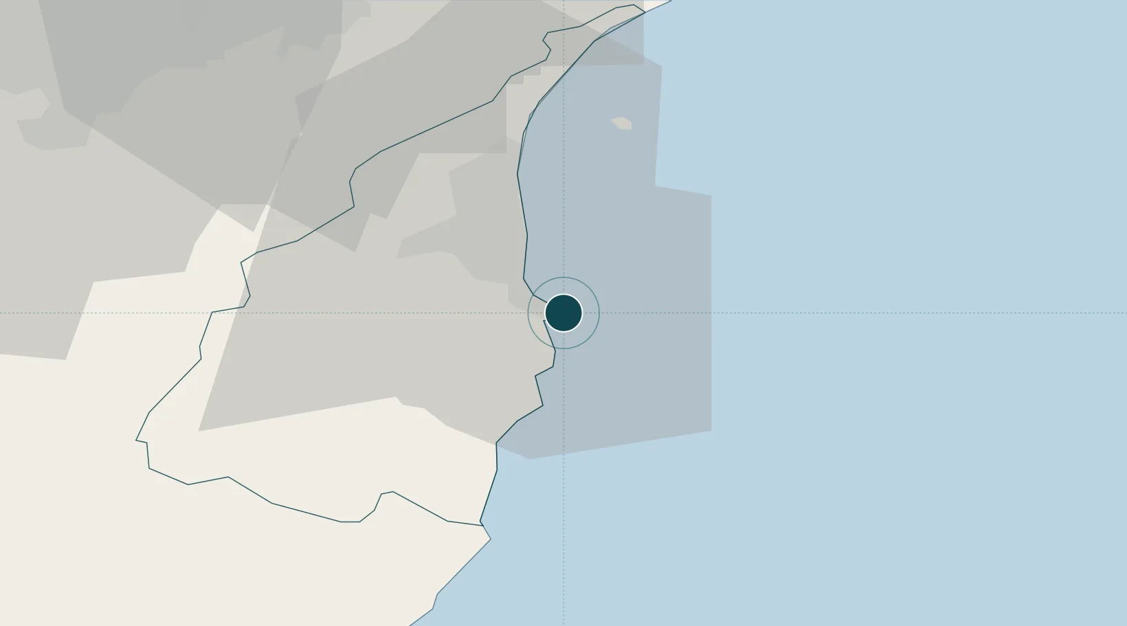
Location
Nearby Logistics Neighbours
Ports
- 1Chi-Lung60 km
- 2Hua-Lien Kang74 km
- 3Tan-Shui80 km
- 4Tai-Chung Kang142 km
- 5Mailiao195 km
Cities
- 1I-lan22 km
- 2Hoping39 km
- 3Wu-tu57 km
- 4Keelung (Chilung)59 km
- 5Taipei67 km
Airports
DatabookThe Record of Consolidated Knowledge
Taiwan beyond logistics?