Transport Functions
Port
Hub Profile
Place type
Populated place
Region
Taiwan
Population
19,268
Time zone
Asia/Taipei
Elevation
7 m
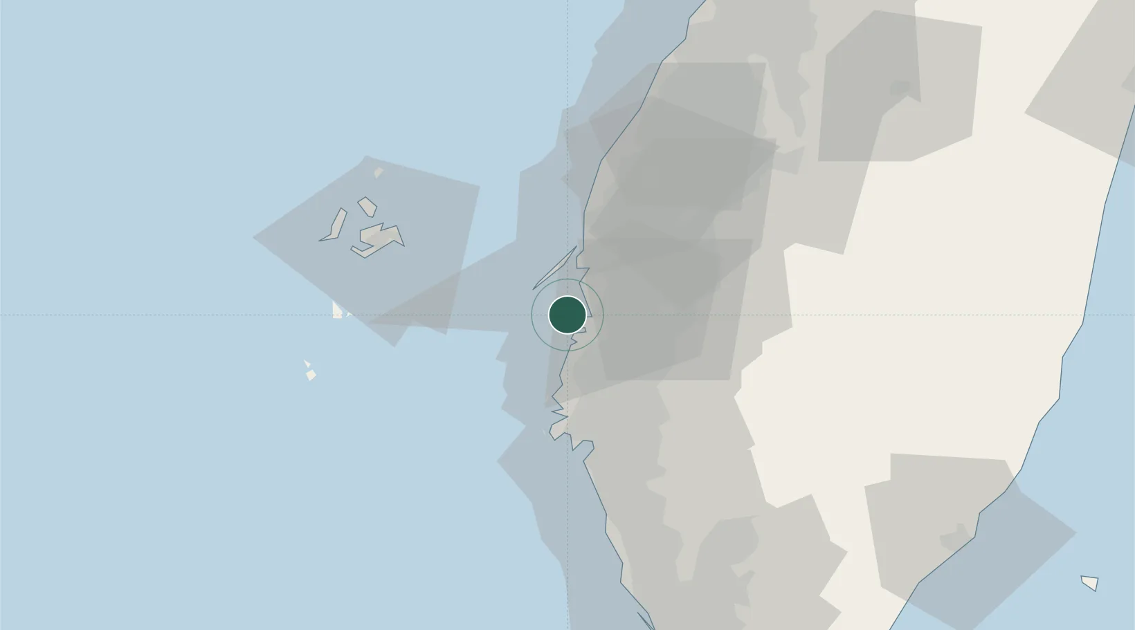
Location
Nearby Logistics Neighbours
Cities
- 1Mai-liao30 km
- 2Yung-K'Ang42 km
- 3Mai-Liai45 km
- 4Lung-men50 km
- 5Nantou84 km
Ports
- 1Mailiao47 km
- 2Peng-Hu Kang63 km
- 3Kao-Hsiung85 km
- 4Tai-Chung Kang112 km
- 5Hua-Lien Kang167 km
Airports
DatabookThe Record of Consolidated Knowledge
Taiwan beyond logistics?