Transport Functions
Port
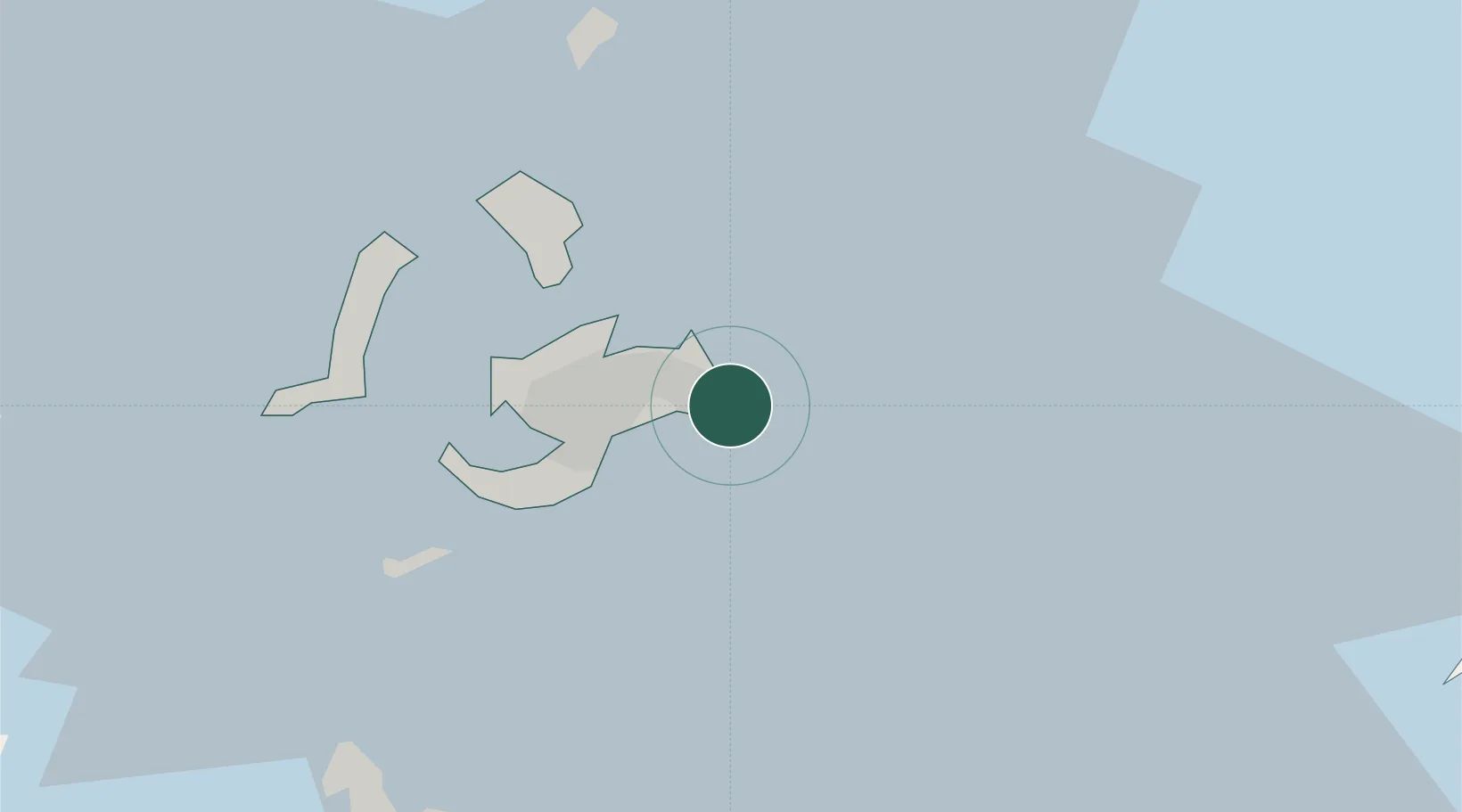
Location
Nearby Logistics Neighbours
Cities
- 1Budai50 km
- 2Mai-Liai63 km
- 3Mai-liao70 km
- 4Yung-K'Ang85 km
- 5Chang-Hua103 km
Ports
- 1Peng-Hu Kang14 km
- 2Mailiao56 km
- 3Tai-Chung Kang118 km
- 4Kao-Hsiung121 km
- 5Quanzhou182 km
Airports
Trade Zones
DatabookThe Record of Consolidated Knowledge
Taiwan beyond logistics?