Large airport · Taiwan

Tainan International Airport / Tainan Air BaseRCNN
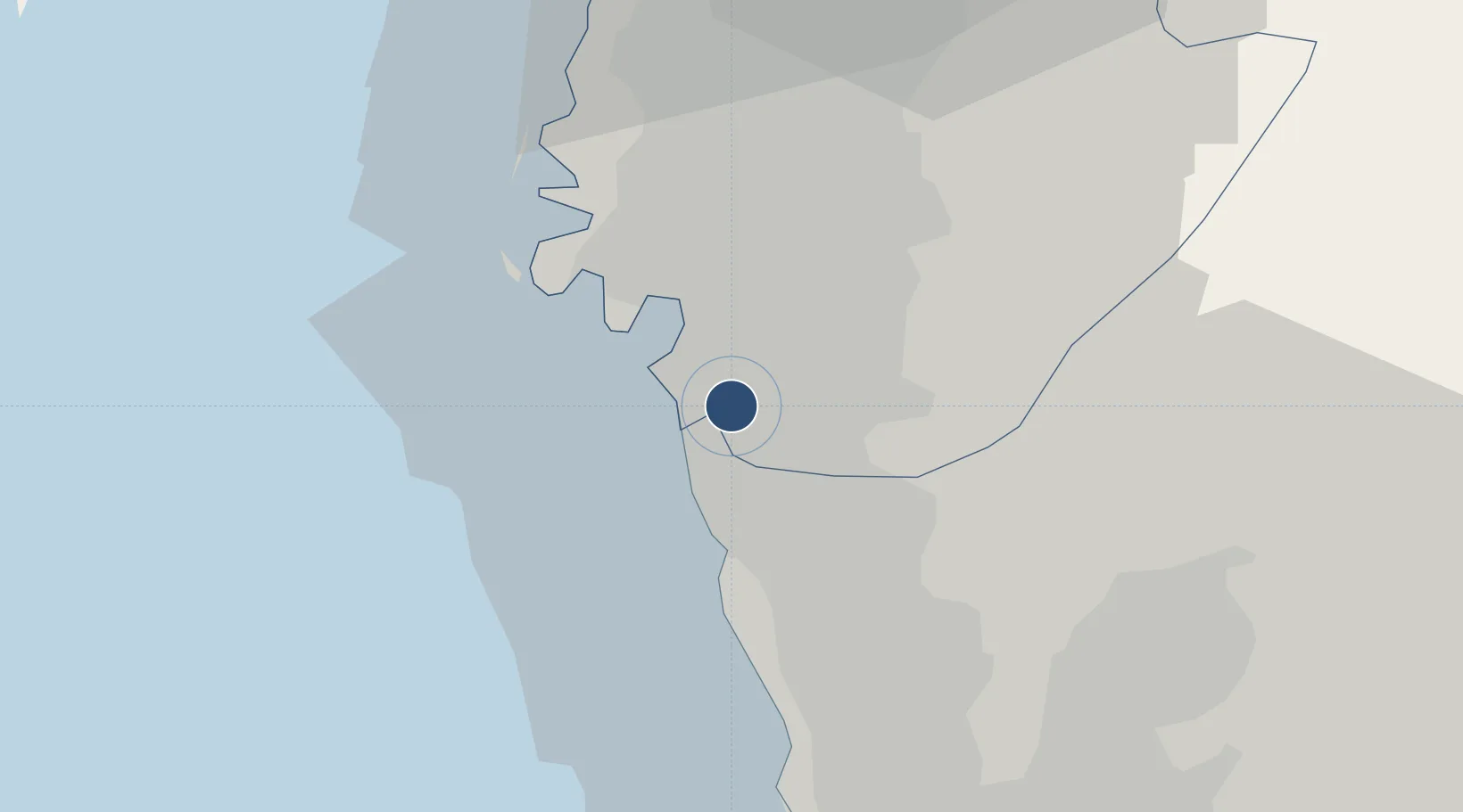
22.9504°, 120.2060°
10,007 ft
Longest runway
2
Runways
63 ft
Elevation

Runway & Layout

Tainan International Airport / Tainan Air Base runway & taxiway layout
Runway & taxiway layout — OpenStreetMap (ODbL) / OurAirports

Radio Frequencies

TWR
118.4 MHz
GND
121.6 MHz
APP
121.1 MHz
KAOHSIUNG APP
OurAirports

Navaids

NN NDB Shikang 375 kHz
TNN VORTAC Shikang 113.30 MHz
TWS TACAN Tainan 115.40 MHz
OurAirports

Runways · 2

RunwayDimensions SurfaceTrue headingLit
18L/36R 10,007 × 148ft Concrete 179°
18R/36L 10,007 × 148ft Concrete 179°
OurAirports

Airport Specifications

IATA code
TNN
OurAirports
ICAO code
RCNN
OurAirports
Airport class
Large airport
OurAirports
Scheduled service
Yes
OurAirports
Runway surface
Concrete
OurAirports
Served city
Tainan (Rende)
OurAirports

Location

Location of RCNN
Natural Earth 10m (public domain) · Tainan City · RCNN · 22.95, 120.21GoogleOSMYandex

Nearby Logistics Neighbours

Airports
  1. 1Gangshan Air Force Base20 km
  2. 2Zuoying Naval Airfield28 km
  3. 3Pingtung Air Force Base North40 km
  4. 4Pingtung Air Force Base41 km
  5. 5Kaohsiung International Airport44 km
Nearest neighbours — logibook spatial index (haversine) over the source coordinates
Cities
  1. 1Yung-K'Ang9 km
  2. 2Mai-liao18 km
  3. 3Kaohsiung44 km
  4. 4Budai48 km
  5. 5Lung-men88 km
Nearest neighbours — logibook spatial index (haversine) over the source coordinates
Ports
  1. 1Kao-Hsiung37 km
  2. 2Mailiao93 km
  3. 3Peng-Hu Kang98 km
  4. 4Tai-Chung Kang153 km
  5. 5Hua-Lien Kang183 km
Nearest neighbours — logibook spatial index (haversine) over the source coordinates
Trade Zones
  1. 1Port Of Anping Free Trade Zone5 km
  2. 2Nantze 2nd Export Processing Zone29 km
  3. 3Port Of Kaohsiung Free Trade Zone37 km
  4. 4Kaohsiung Software-Based Technology Park40 km
  5. 5Kaohsiung Export Processing Zone40 km
Nearest neighbours — logibook spatial index (haversine) over the source coordinates
DatabookThe Record of Consolidated Knowledge
Taiwan beyond logistics?
Browse databook

All Sources

AirportsOurAirports
Public domain
Portsthe NGA World Port Index
Public domain (US gov)
LocationsUN/LOCODE
UN/LOCODE — free
Trade Zonesthe World Bank SEZ database
CC BY 4.0
Trade ZonesOpen Zone Map
CC BY
InfrastructureOpenStreetMap
ODbL 1.0
← Taiwan airports