UN/LOCODE hub · Taiwan
TWNAN

Nantou

23.9000°, 120.6833°
105,682
Population
2
Transport functions

Transport Functions

Port
Road
UN/LOCODE

Hub Profile

Place type
Provincial seat
GeoNames
Region
Taiwan
GeoNames
Population
105,682
GeoNames
Time zone
Asia/Taipei
GeoNames
Elevation
196 m
GeoNames

Location

Location of TWNAN
Natural Earth 10m (public domain) · Taiwan · TWNAN · 23.90, 120.68GoogleOSMYandex

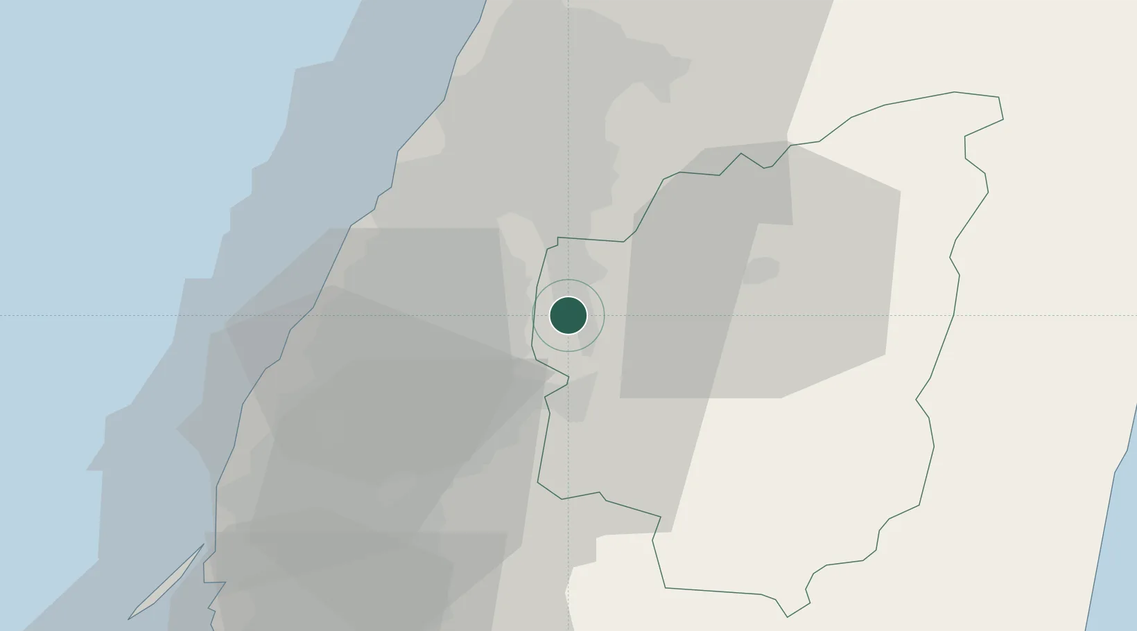
Nearby Logistics Neighbours

Cities
  1. 1Wu-jih23 km
  2. 2Chang-Hua25 km
  3. 3Feng-yüan-ch'ü39 km
  4. 4Taichung42 km
  5. 5Mai-Liai47 km
Nearest neighbours — logibook spatial index (haversine) over the source coordinates
Ports
  1. 1Tai-Chung Kang48 km
  2. 2Mailiao54 km
  3. 3Hua-Lien Kang94 km
  4. 4Peng-Hu Kang122 km
  5. 5Su-Ao143 km
Nearest neighbours — logibook spatial index (haversine) over the source coordinates
Airports
  1. 1Taichung International Airport / Ching Chuang Kang Air Base41 km
  2. 2Chiayi Airport57 km
  3. 3Hualien Chiashan Airport96 km
  4. 4Hsinchu Air Base105 km
  5. 5Penghu Magong Airport114 km
Nearest neighbours — logibook spatial index (haversine) over the source coordinates
Trade Zones
  1. 1Taichung Export Processing Zone35 km
  2. 2Chung-Kang Export Processing Zone41 km
  3. 3Taichung Software-Based Technology Park41 km
  4. 4Port Of Taichung Free Trade Zone46 km
  5. 5Nantze Export Processing Zone99 km
Nearest neighbours — logibook spatial index (haversine) over the source coordinates
DatabookThe Record of Consolidated Knowledge
Taiwan beyond logistics?
Browse databook

All Sources

LocationsUN/LOCODE
UN/LOCODE — free
LocationsGeoNames
CC BY 4.0
Portsthe NGA World Port Index
Public domain (US gov)
AirportsOurAirports
Public domain
Trade Zonesthe World Bank SEZ database
CC BY 4.0
Trade ZonesOpen Zone Map
CC BY
← Taiwan locations