Free Trade Zone · Taiwan

Port Of Taichung Free Trade Zone Active
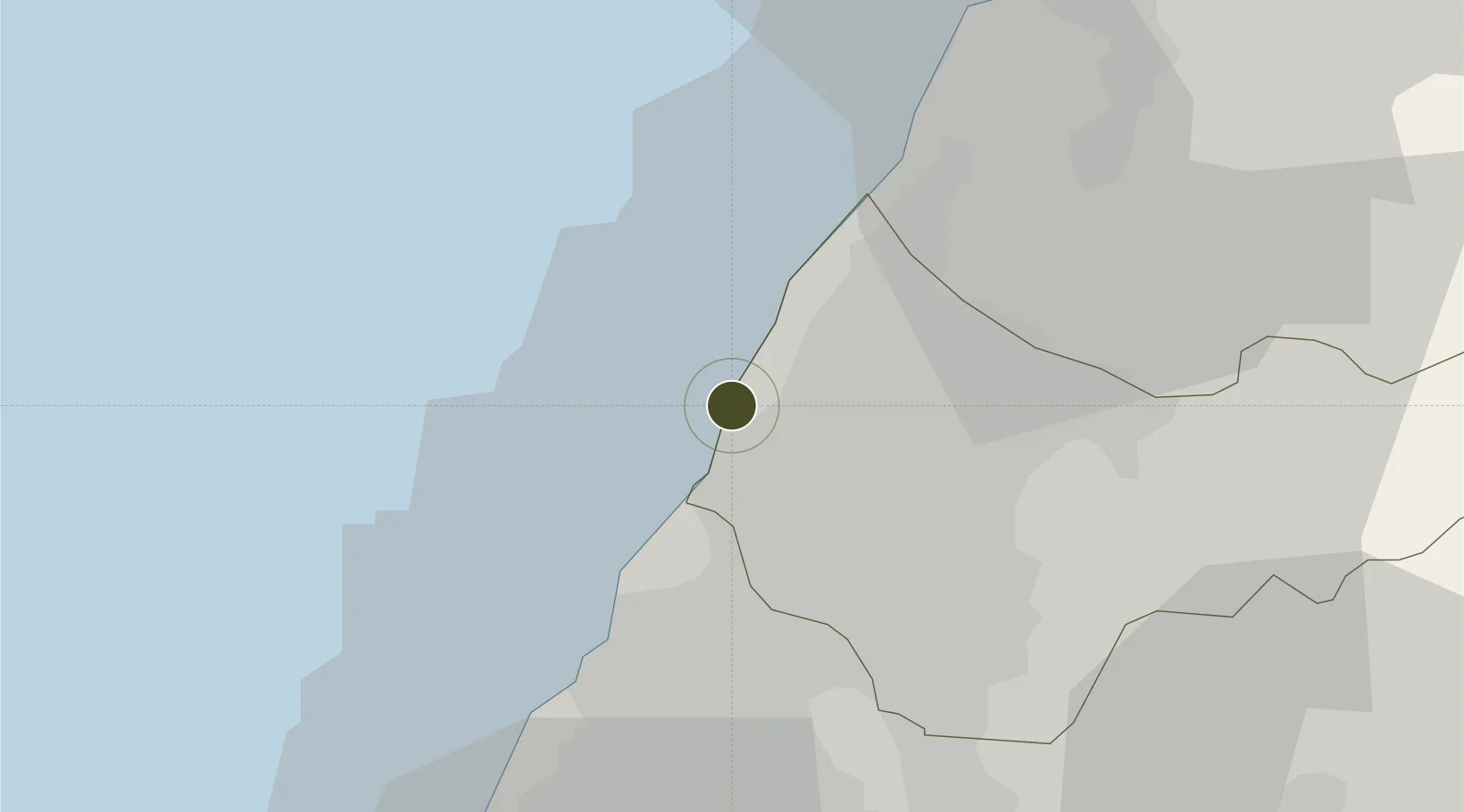
24.2853°, 120.5119°
662 ha
Zone area
2.0 km
Nearest port
11.3 km
Nearest airport

Gateway access

Nearest neighbours — logibook spatial index (haversine) over the source coordinates

Zone profile

Zone type
Free Trade Zone
Open Zone Map
Region
Taichung City
Open Zone Map
Status
Active
Open Zone Map
Management
Public
Open Zone Map
Operator
Taiwan International Ports Corporation Ltd.
Open Zone Map
Legal framework
Act for the Establishment and Management of Free Trade zones
Open Zone Map

Location

Location of ozm-4394
Natural Earth 10m (public domain) · Taichung City · ozm-4394 · 24.29, 120.51GoogleOSMYandex

Nearby Logistics Neighbours

Ports
  1. 1Tai-Chung Kang2 km
  2. 2Mailiao66 km
  3. 3Hua-Lien Kang115 km
  4. 4Peng-Hu Kang126 km
  5. 5Tan-Shui134 km
Nearest neighbours — logibook spatial index (haversine) over the source coordinates
Airports
  1. 1Taichung International Airport / Ching Chuang Kang Air Base11 km
  2. 2Hsinchu Air Base73 km
  3. 3Chiayi Airport92 km
  4. 4Longtan Air Base97 km
  5. 5Taiwan Taoyuan International Airport114 km
Nearest neighbours — logibook spatial index (haversine) over the source coordinates
Cities
  1. 1Taichung4 km
  2. 2Feng-yüan-ch'ü21 km
  3. 3Wu-jih23 km
  4. 4Chang-Hua24 km
  5. 5Miao-li43 km
Nearest neighbours — logibook spatial index (haversine) over the source coordinates
Trade Zones
  1. 1Taichung Software-Based Technology Park5 km
  2. 2Chung-Kang Export Processing Zone5 km
  3. 3Taichung Export Processing Zone21 km
  4. 4Taoyuan International Airport Free Trade Zone114 km
  5. 5Port Of Taipei Free Trade Zone130 km
Nearest neighbours — logibook spatial index (haversine) over the source coordinates
DatabookThe Record of Consolidated Knowledge
Taiwan beyond logistics?
Browse databook

All Sources

Trade ZonesOpen Zone Map
CC BY
Portsthe NGA World Port Index
Public domain (US gov)
AirportsOurAirports
Public domain
LocationsUN/LOCODE
UN/LOCODE — free
← Taiwan trade zones