Transport Functions
Port
Hub Profile
Place type
Provincial seat
Region
Surat Thani
Population
50,000
Time zone
Asia/Bangkok
Elevation
8 m
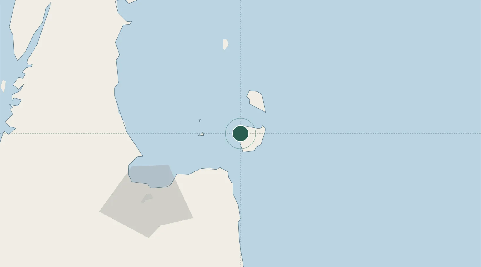
Location
Nearby Logistics Neighbours
Cities
- 1Nakhon Si Thammarat34 km
- 2Khanom38 km
- 3Pak Phanang38 km
- 4Sichon58 km
- 5Ban Don73 km
Ports
- 1Khanom37 km
- 2Erawan Terminal163 km
- 3Tantawan Marine Terminal174 km
- 4Benchamas Terminal181 km
- 5Bang Saphan187 km
Airports
- 1Samui International Airport14 km
- 2Surat Thani Airport98 km
- 3Nakhon Si Thammarat Airport111 km
- 4Cha Eian Airport118 km
- 5Chumphon Airport145 km
DatabookThe Record of Consolidated Knowledge
Thailand beyond logistics?