UN/LOCODE hub · Thailand
THSIC

Sichon

9.0167°, 99.9167°
1
Transport functions

Transport Functions

Port
UN/LOCODE

Hub Profile

Place type
Populated place
GeoNames
Region
Nakhon Si Thammarat
GeoNames
Time zone
Asia/Bangkok
GeoNames
Elevation
11 m
GeoNames

Location

Location of THSIC
Natural Earth 10m (public domain) · Nakhon Si Thammarat · THSIC · 9.02, 99.92GoogleOSMYandex

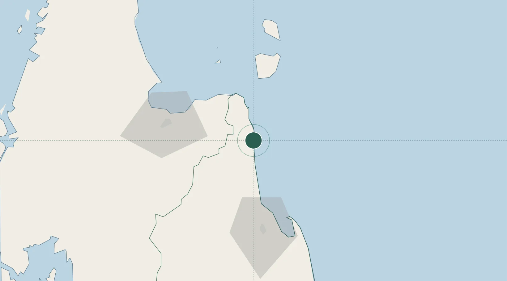
Nearby Logistics Neighbours

Cities
  1. 1Khanom21 km
  2. 2Pak Phanang21 km
  3. 3Nakhon Si Thammarat25 km
  4. 4Tha Sala39 km
  5. 5Ko Samui58 km
Nearest neighbours — logibook spatial index (haversine) over the source coordinates
Ports
  1. 1Khanom21 km
  2. 2Krabi153 km
  3. 3Erawan Terminal158 km
  4. 4Kantang Harbor185 km
  5. 5Tantawan Marine Terminal203 km
Nearest neighbours — logibook spatial index (haversine) over the source coordinates
Airports
  1. 1Nakhon Si Thammarat Airport53 km
  2. 2Cha Eian Airport61 km
  3. 3Samui International Airport61 km
  4. 4Surat Thani Airport87 km
  5. 5Krabi International Airport145 km
Nearest neighbours — logibook spatial index (haversine) over the source coordinates
DatabookThe Record of Consolidated Knowledge
Thailand beyond logistics?
Browse databook

All Sources

LocationsUN/LOCODE
UN/LOCODE — free
Portsthe NGA World Port Index
Public domain (US gov)
AirportsOurAirports
Public domain
Trade Zonesthe World Bank SEZ database
CC BY 4.0
Trade ZonesOpen Zone Map
CC BY
← Thailand locations