Large airport · Thailand
Samui International AirportVTSM
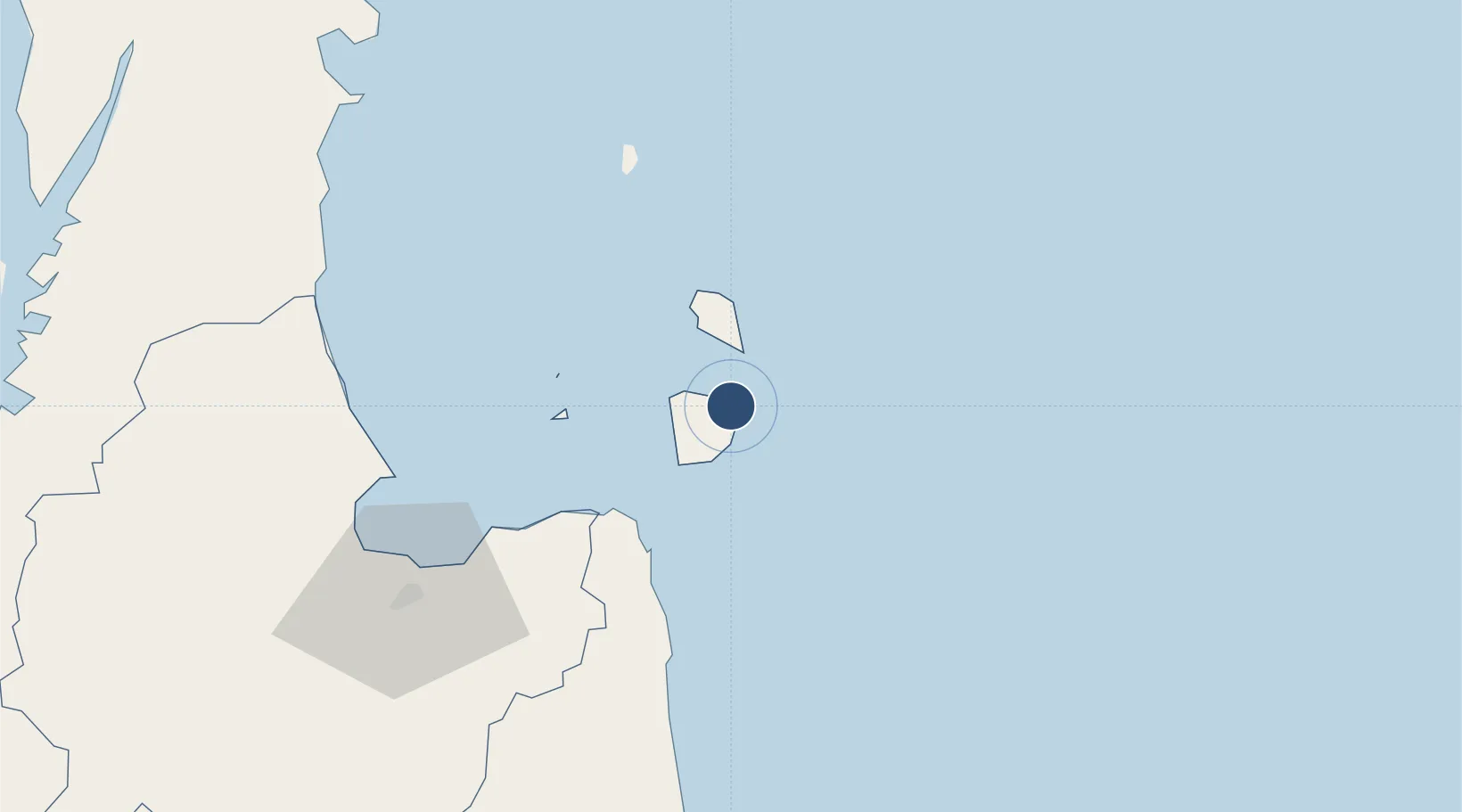
9.5478°, 100.0620°
6,759 ft
Longest runway
1
Runways
64 ft
Elevation
Runway & Layout

Radio Frequencies
ATIS
128.6 MHz
TWR
118.9 MHz
APP
129.6 MHz
Navaids
SM NDB Samui 316 kHz
SMU VOR-DME Samui 117.60 MHz
Runways · 1
| Runway | Dimensions | Surface | True heading | Lit |
|---|---|---|---|---|
| 17/35 | 6,759 × 148ft | Asphalt | 174° | ✓ |
Airport Specifications
IATA code
USM
ICAO code
VTSM
Airport class
Large airport
Scheduled service
Yes
Runway surface
Asphalt
Served city
Na Thon (Ko Samui Island)
Location
Nearby Logistics Neighbours
Airports
- 1Surat Thani Airport112 km
- 2Nakhon Si Thammarat Airport113 km
- 3Cha Eian Airport120 km
- 4Chumphon Airport150 km
- 5Ranong Airport164 km
Cities
- 1Ko Samui14 km
- 2Nakhon Si Thammarat41 km
- 3Khanom43 km
- 4Pak Phanang43 km
- 5Sichon61 km
Ports
- 1Khanom43 km
- 2Erawan Terminal150 km
- 3Tantawan Marine Terminal160 km
- 4Benchamas Terminal169 km
- 5Bang Saphan189 km
DatabookThe Record of Consolidated Knowledge
Thailand beyond logistics?