UN/LOCODE hub · Thailand
THNKT

Nakhon Si Thammarat

9.2333°, 99.8667°
102,152
Population
1
Transport functions

Transport Functions

Port
UN/LOCODE

Hub Profile

Place type
Regional capital
GeoNames
Region
Nakhon Si Thammarat
GeoNames
Population
102,152
GeoNames
Time zone
Asia/Bangkok
GeoNames
Elevation
8 m
GeoNames

Location

Location of THNKT
Natural Earth 10m (public domain) · Nakhon Si Thammarat · THNKT · 9.23, 99.87GoogleOSMYandex

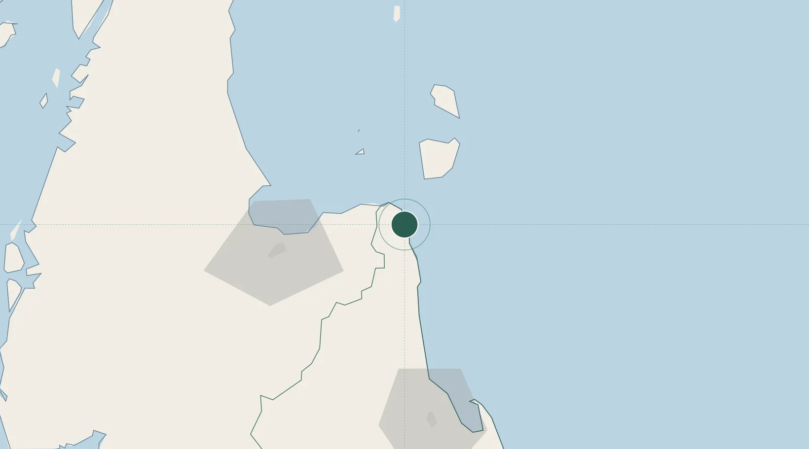
Nearby Logistics Neighbours

Cities
  1. 1Khanom4 km
  2. 2Pak Phanang4 km
  3. 3Sichon25 km
  4. 4Ko Samui34 km
  5. 5Ban Don55 km
Nearest neighbours — logibook spatial index (haversine) over the source coordinates
Ports
  1. 1Khanom5 km
  2. 2Erawan Terminal164 km
  3. 3Krabi167 km
  4. 4Tantawan Marine Terminal194 km
  5. 5Kantang Harbor208 km
Nearest neighbours — logibook spatial index (haversine) over the source coordinates
Airports
  1. 1Samui International Airport41 km
  2. 2Nakhon Si Thammarat Airport78 km
  3. 3Surat Thani Airport81 km
  4. 4Cha Eian Airport85 km
  5. 5Ranong Airport153 km
Nearest neighbours — logibook spatial index (haversine) over the source coordinates
DatabookThe Record of Consolidated Knowledge
Thailand beyond logistics?
Browse databook

All Sources

LocationsUN/LOCODE
UN/LOCODE — free
LocationsGeoNames
CC BY 4.0
Portsthe NGA World Port Index
Public domain (US gov)
AirportsOurAirports
Public domain
Trade Zonesthe World Bank SEZ database
CC BY 4.0
Trade ZonesOpen Zone Map
CC BY
← Thailand locations