Transport Functions
Port
Hub Profile
Place type
Provincial seat
Region
Nakhon Si Thammarat
Population
25,014
Time zone
Asia/Bangkok
Elevation
4 m
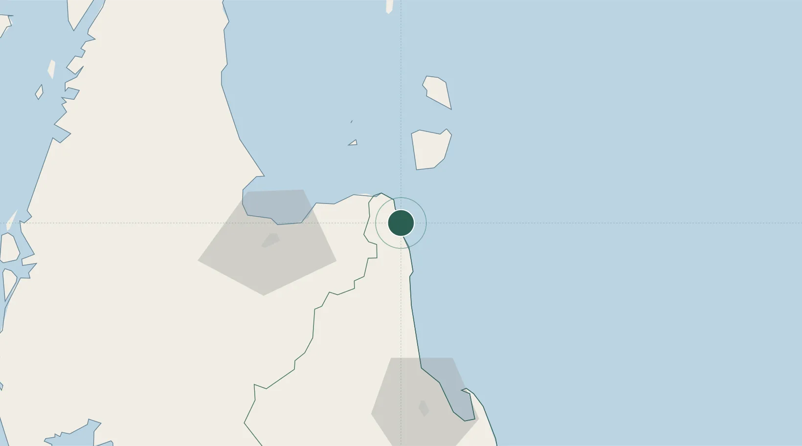
Location
Nearby Logistics Neighbours
Cities
- 1Khanom0 km
- 2Nakhon Si Thammarat4 km
- 3Sichon21 km
- 4Ko Samui38 km
- 5Ban Don57 km
Ports
- 1Khanom2 km
- 2Erawan Terminal161 km
- 3Krabi165 km
- 4Tantawan Marine Terminal195 km
- 5Kantang Harbor204 km
Airports
- 1Samui International Airport43 km
- 2Nakhon Si Thammarat Airport74 km
- 3Cha Eian Airport81 km
- 4Surat Thani Airport82 km
- 5Ranong Airport156 km
DatabookThe Record of Consolidated Knowledge
Thailand beyond logistics?