Transport Functions
Port
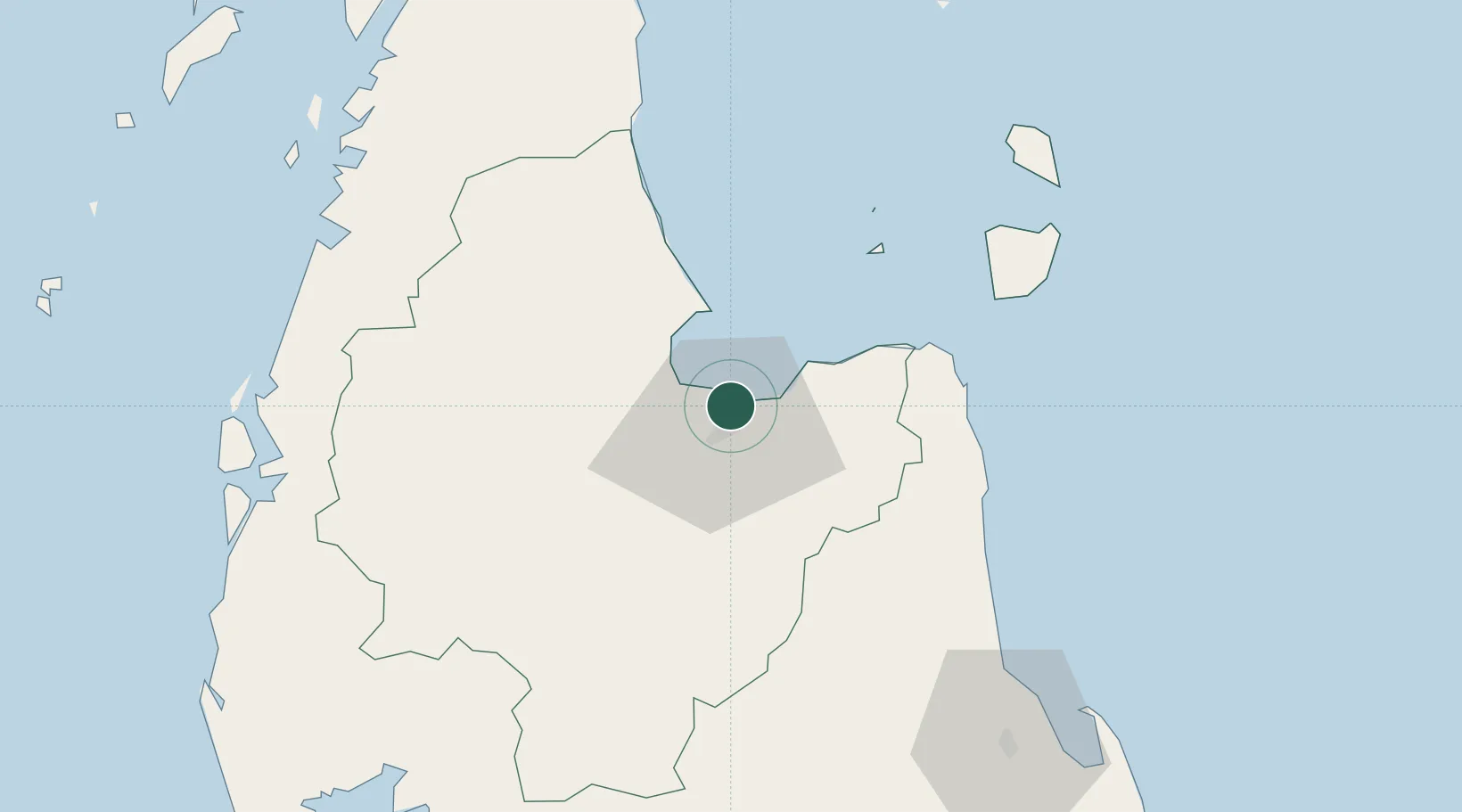
Hub Profile
Place type
Populated place
Region
Phang Nga
Time zone
Asia/Bangkok
Elevation
19 m
Location
Nearby Logistics Neighbours
Cities
- 1Surat Thani26 km
- 2Nakhon Si Thammarat55 km
- 3Khanom57 km
- 4Pak Phanang57 km
- 5Sichon63 km
Ports
- 1Khanom59 km
- 2Krabi134 km
- 3Phuket184 km
- 4Kantang Harbor199 km
- 5Erawan Terminal218 km
Airports
- 1Surat Thani Airport26 km
- 2Samui International Airport86 km
- 3Nakhon Si Thammarat Airport96 km
- 4Cha Eian Airport102 km
- 5Ranong Airport108 km
DatabookThe Record of Consolidated Knowledge
Thailand beyond logistics?