Seaport · Sweden
SodertaljeSESOE
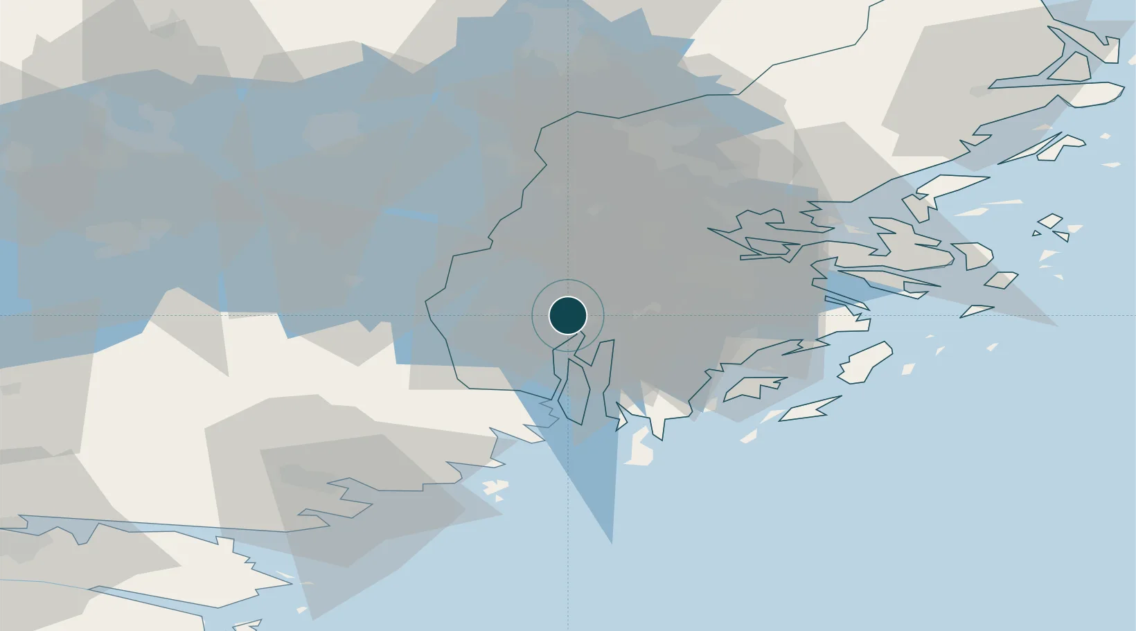
59.1833°, 17.6500°
7.9 m
Channel depth
1
Container terminals
10.3
Port liner connectivity
Channel & Berth Profile
Pilotage, Tugs & Services
Pilotage compulsoryYES
Pilotage availableYES
Local assistanceYES
Tug assistanceYES
Potable waterYES
MedicalYES
Garbage disposalYES
Facilities & Capabilities
ContainerYES
Ro-RoYES
Liquid bulkYES
Dry bulkYES
Oil terminalNO
Break bulkYES
Dry dock—
RepairsNO
BunkeringYES
Rail linkYES
Dangerous cargo—
ISPS security—
Harbour Specifications
Harbour size
Small
Harbour type
Canal or Lake
Shelter
Good
Water body
Baltic Sea; North Atlantic Ocean
Overhead limit
Yes
Pilotage
Yes
Liner Connectivity
10.3
PLSCI
Port Liner Shipping Connectivity Index for Sodertalje, as published by UNCTAD for the latest available quarter. Higher values indicate stronger scheduled liner-shipping integration.
Shown relative to the highest per-port PLSCI in the dataset (1,657.9).
Location
Container Terminals · 1
PORT OF SODERTALJE
POS
Nearby Logistics Neighbours
Ports
- 1Stockholm28 km
- 2Nynashamn36 km
- 3Gustavsberg44 km
- 4Nykoping60 km
- 5Oxelosund65 km
Airports
- 1Stockholm-Bromma Airport25 km
- 2Stockholm-Arlanda Airport54 km
- 3Eskilstuna Airport57 km
- 4Stockholm Skavsta Airport61 km
- 5Stockholm Västerås Airport73 km
Trade Zones
- 1Stockholm Free Zone32 km
- 2Jönköping Free Zone260 km
- 3Turku Free Zone291 km
- 4Free port of Ventspils301 km
- 5Freeport of Hanko304 km
DatabookThe Record of Consolidated Knowledge
Sweden beyond logistics?