Large airport · Sweden

Stockholm Västerås AirportESOW
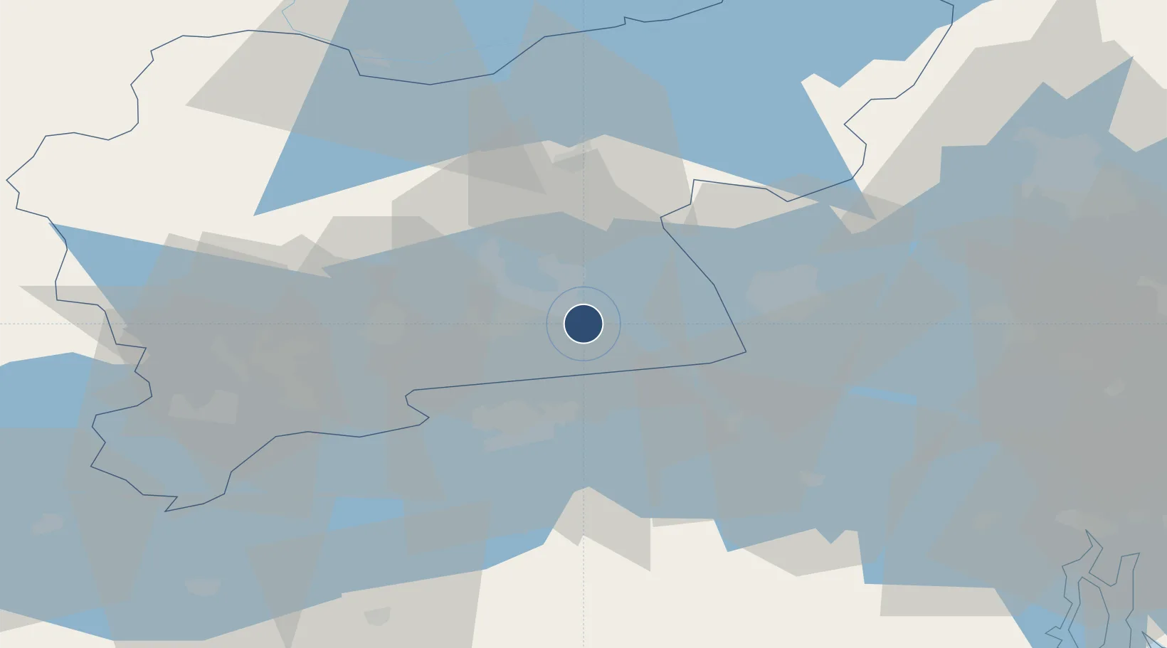
59.5894°, 16.6336°
8,468 ft
Longest runway
1
Runways
21 ft
Elevation

Runway & Layout

Stockholm Västerås Airport runway & taxiway layout
Runway & taxiway layout — OpenStreetMap (ODbL) / OurAirports

Radio Frequencies

TWR
130.6 MHz
APP
125.95 MHz
CON
OurAirports

Navaids

ARS VOR-DME Aros 112.80 MHz
OurAirports

Runways · 1

RunwayDimensions SurfaceTrue headingLit
01/19 8,468 × 164ft Asphalt 008°
OurAirports

Airport Specifications

IATA code
VST
OurAirports
ICAO code
ESOW
OurAirports
Airport class
Large airport
OurAirports
Scheduled service
Yes
OurAirports
Runway surface
Asphalt
OurAirports
Served city
Stockholm / Västerås
OurAirports

Location

Location of ESOW
Natural Earth 10m (public domain) · Västmanland · ESOW · 59.59, 16.63GoogleOSMYandex

Nearby Logistics Neighbours

Airports
  1. 1Eskilstuna Airport27 km
  2. 2Stockholm-Arlanda Airport73 km
  3. 3Stockholm-Bromma Airport78 km
  4. 4Stockholm Skavsta Airport90 km
  5. 5Örebro Airport99 km
Nearest neighbours — logibook spatial index (haversine) over the source coordinates
Cities
  1. 1Västerås7 km
  2. 2Torshälla22 km
  3. 3Enköping28 km
  4. 4Strängnäs32 km
  5. 5Kungsör35 km
Nearest neighbours — logibook spatial index (haversine) over the source coordinates
Ports
  1. 1Vasteras6 km
  2. 2Sodertalje73 km
  3. 3Stockholm85 km
  4. 4Nykoping96 km
  5. 5Gustavsberg103 km
Nearest neighbours — logibook spatial index (haversine) over the source coordinates
Trade Zones
  1. 1Stockholm Free Zone88 km
  2. 2Jönköping Free Zone250 km
  3. 3Turku Free Zone324 km
  4. 4Gothenburg Boundless Customs Warehouse349 km
  5. 5Freeport of Hanko352 km
Nearest neighbours — logibook spatial index (haversine) over the source coordinates
DatabookThe Record of Consolidated Knowledge
Sweden beyond logistics?
Browse databook

All Sources

AirportsOurAirports
Public domain
Portsthe NGA World Port Index
Public domain (US gov)
LocationsUN/LOCODE
UN/LOCODE — free
Trade Zonesthe World Bank SEZ database
CC BY 4.0
Trade ZonesOpen Zone Map
CC BY
InfrastructureOpenStreetMap
ODbL 1.0
← Sweden airports